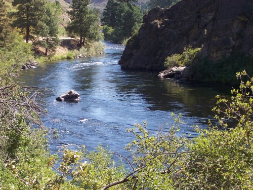
The Bureau of Reclamation and the US Geological Survey are teaming up on a study of the South Fork Boise River. Work began in the past few months with the goal of a better understanding of the spawning habitats.

The study design points out that in the past, sampling has been sporadic and focused on limited areas. To fully document attributes of spawning habitat in South Fork Boise River study area, representative sampling will be conducted throughout the study area, throughout the year when necessary. There will be additional sampling during the April – June spawning season.
Next step is some field work to assess representative spawning habitatsand measuring intragravel dissolved oxygen and substrate size. To do that the scientists worked this spring to measure average water column velocity and depth during each site visit, as well as median substrate size, and percent substrate fines before and after the incubation period.
Field reconnaissance was completed in the fall of 2009 to determine sample locations and to set in continuous temperature recorders. Monitoring of selected spawning habitats occurred in the spring of 2010. Field measurements at each site were made weekly during the spawning season.

Agency staff will then take the data collected and summarize it into a final report. Additionally, the report should also identify if habitat problems exist, and make recommendations for future investigations.

A final task is to measure SFB discharge and temperature along the river corridor from Anderson Ranch to Arrowrock Reservoir. The plas is to establish temperature and flow measurement locations at the mouth of five tributaries, Danskin Bridge and Neil Bridge. These locations will be sampled once a month between May – September, 2010 to characterize the hydrograph throughout the spawning, incubation, and emergence stages of development for rainbow trout in the SF Boise River. These measurements will be used to determine how changes in discharge may influence the availability of spawning habitat and spawning success.
Expect to see a summary from USGS by next Spring.


