Two StoryMaps have been created to display an overview of the South Fork Boise River and some of the resources, topics and issues. These products are the result of efforts by Anthony Priscianddaro in 2024 and 2025.
First StoryMap is an overview of the South Fork Boise River Collaborative effort. Check it out here or click on the picture below.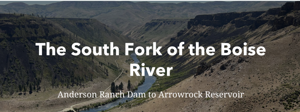
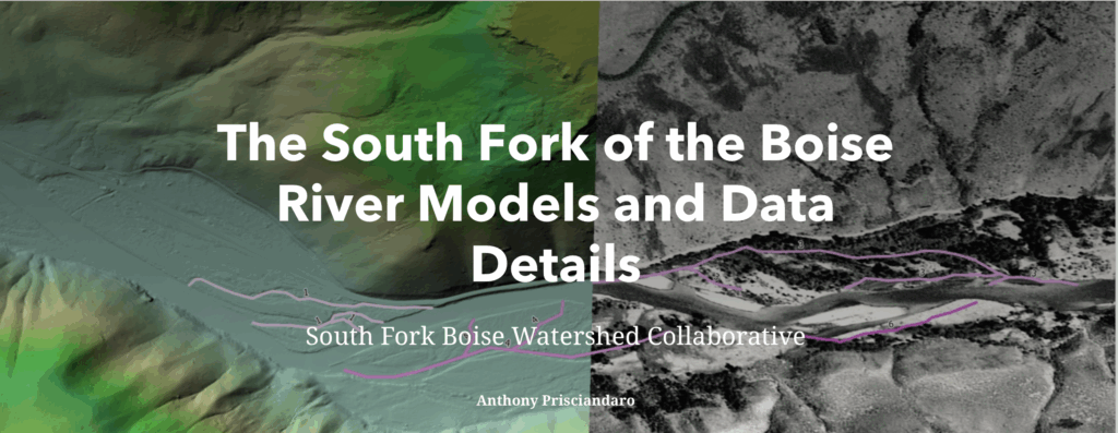
A second StoryMap explores conditions along the river corridor and in the watershed, and includes a combination of current day aerial photos compared to historic photos from the 1930s-1950s. It can be accessed here or by clicking on the picture below.