


Public Testimony on Elmore County Application for Permit No. 63-34348
Richard Prange, Ted Trueblood Chapter of Trout Unlimited December 10, 2018
My name is Richard Prange. I have lived in Boise since 1972 and retired here in 2001. I have fished virtually all my life and became a member of the Ted Trueblood Chapter shortly after it was establishment in 1991. I served as the Chapter President for two years in 2003 and 2004 and am currently on the Board of Directors. Our chapter has about 825 members living in Southwest Idaho. In regards to this water right application, I am here as a public witness speaking for the Ted Trueblood Chapter to urge you to give your highest consideration to protecting the South Fork Boise River fishery.
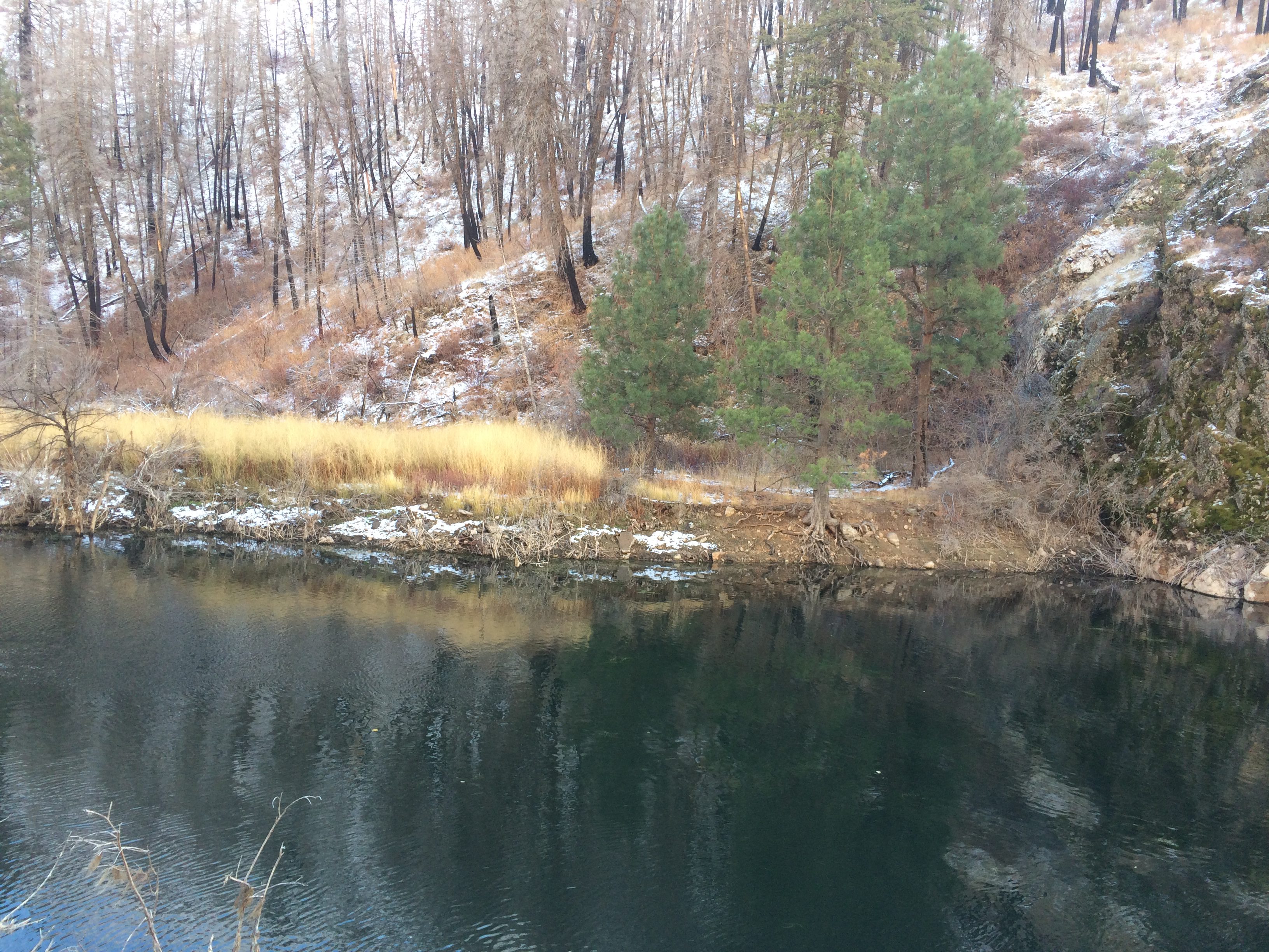
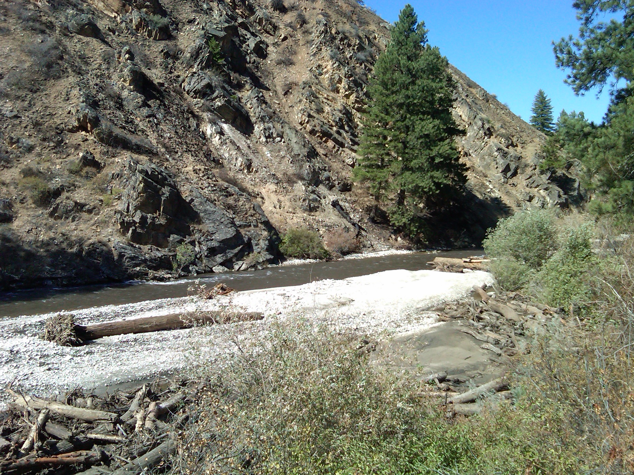
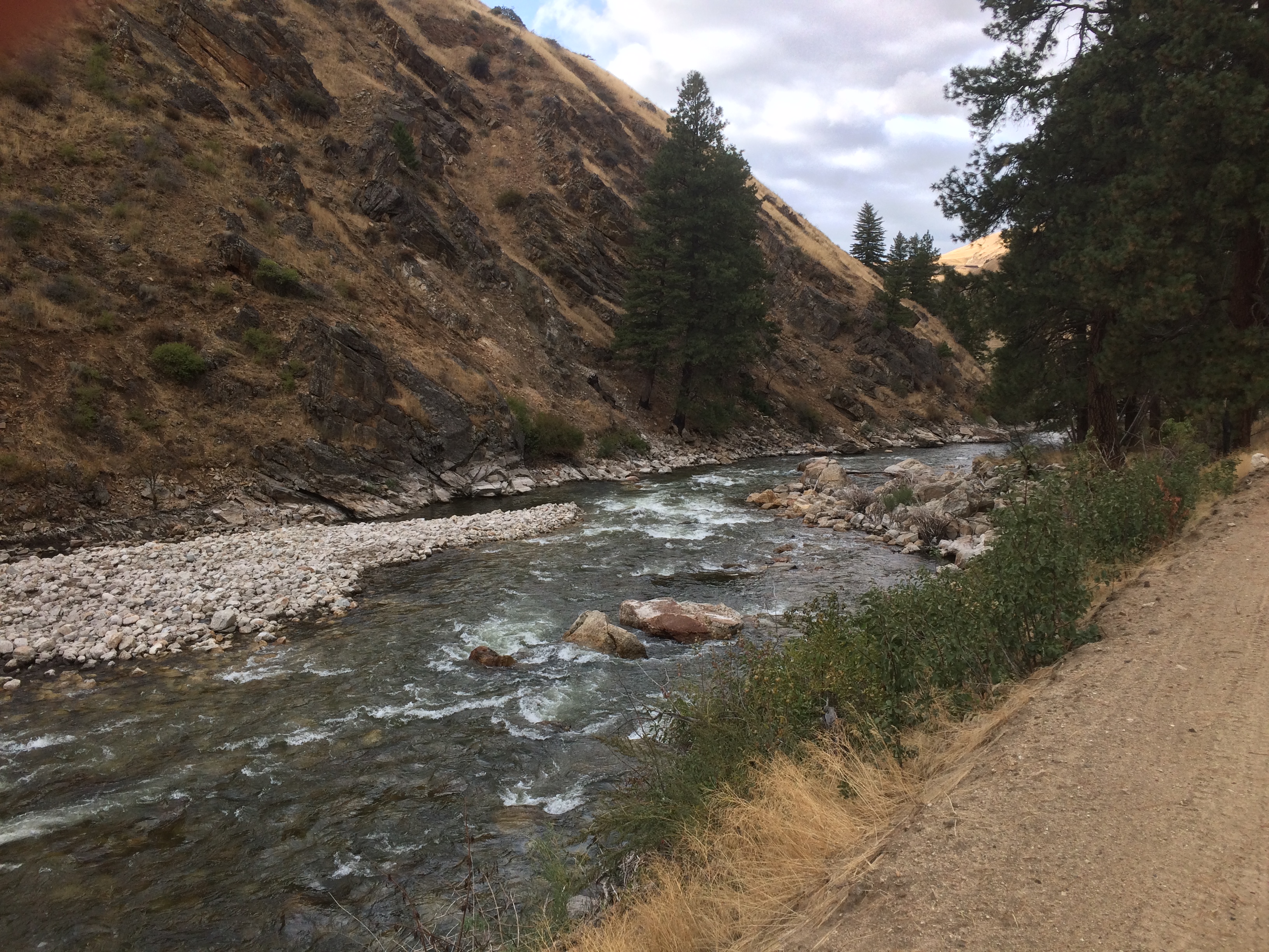
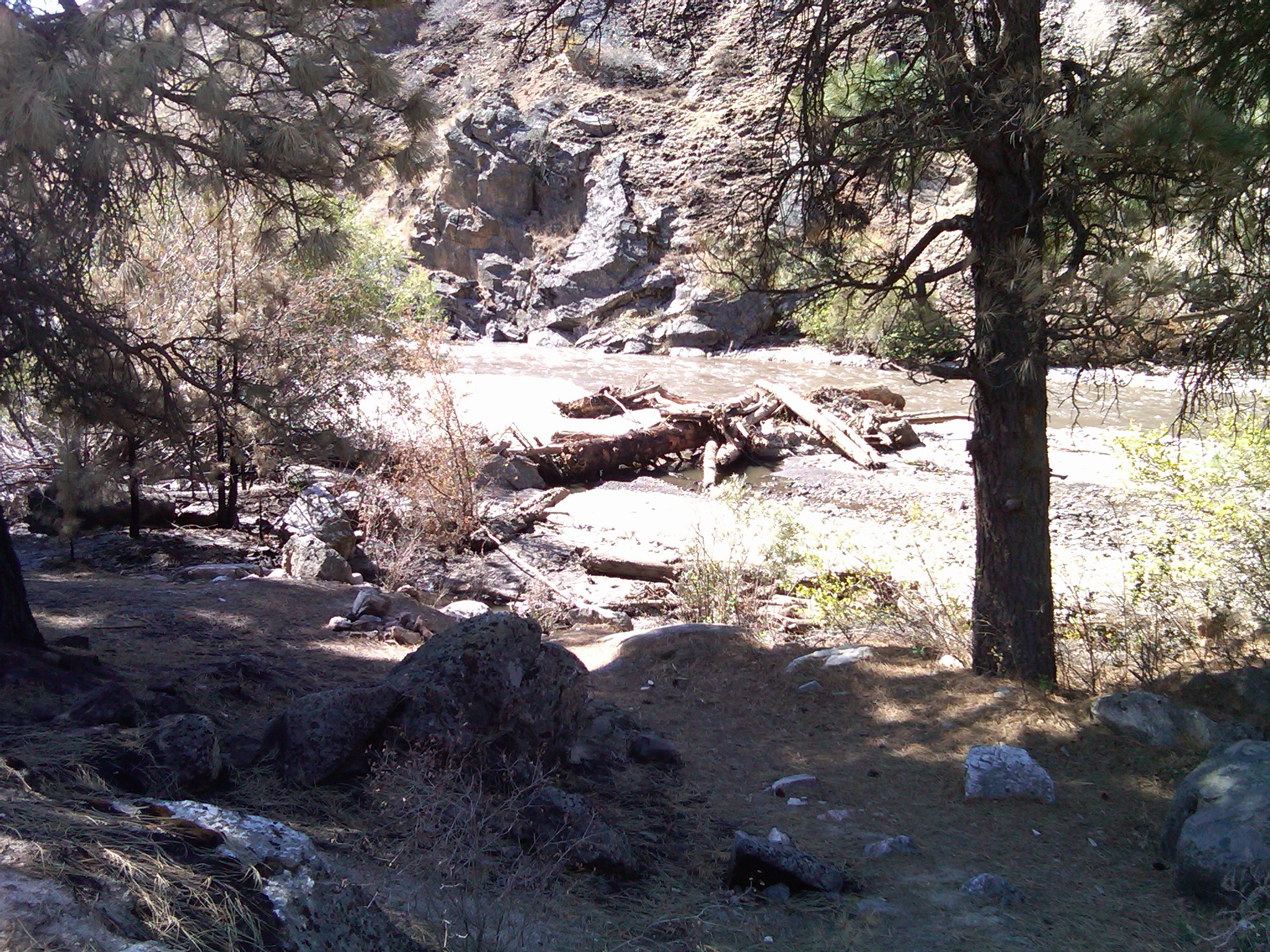
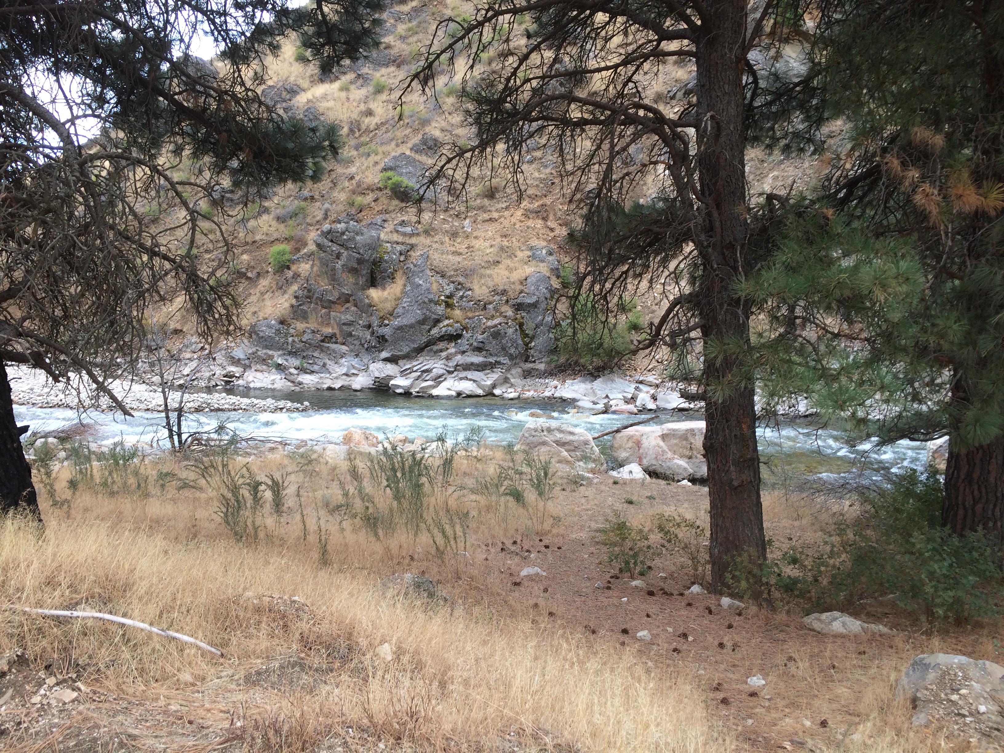
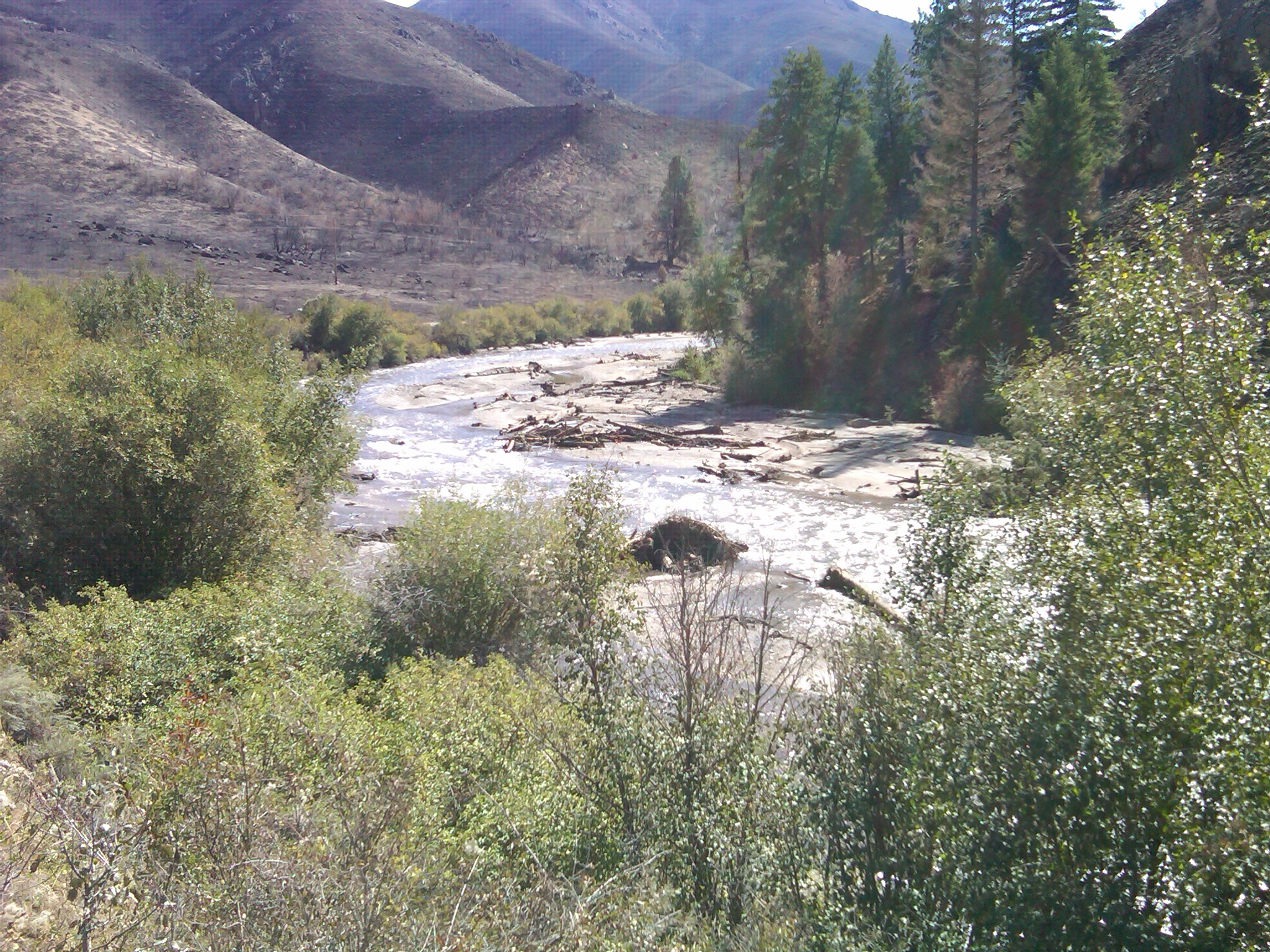
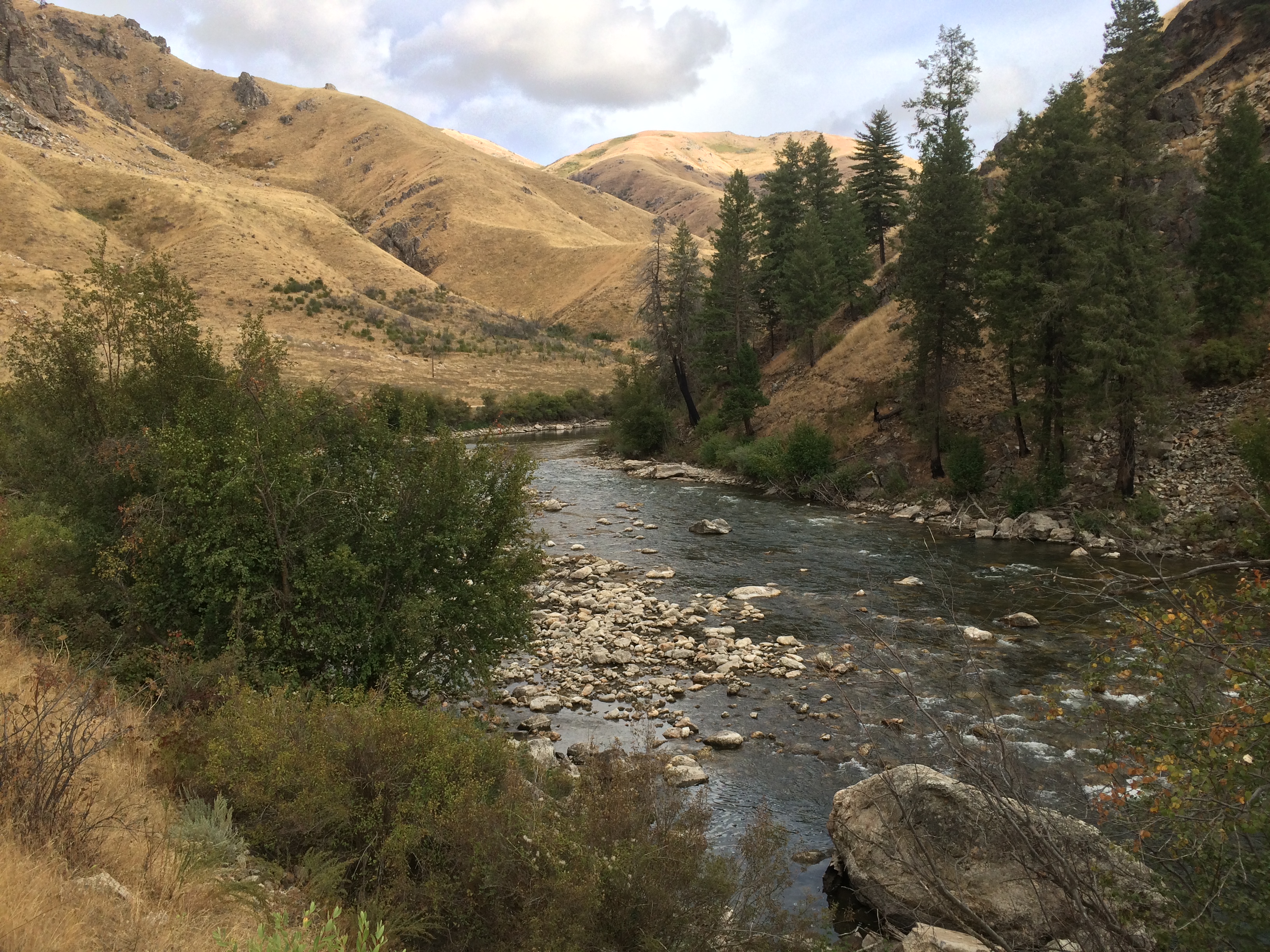
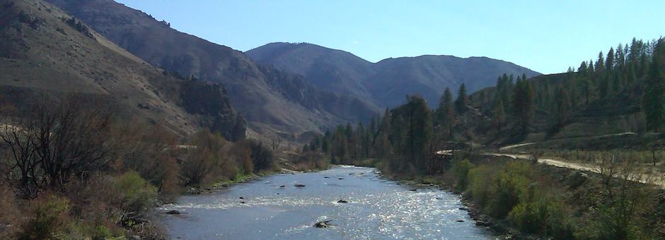
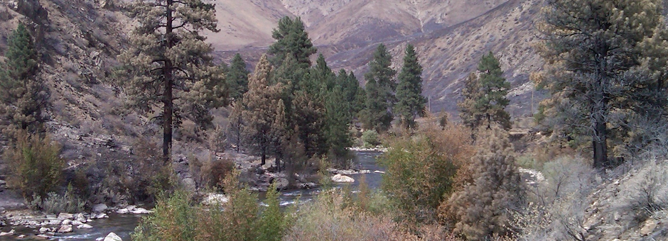
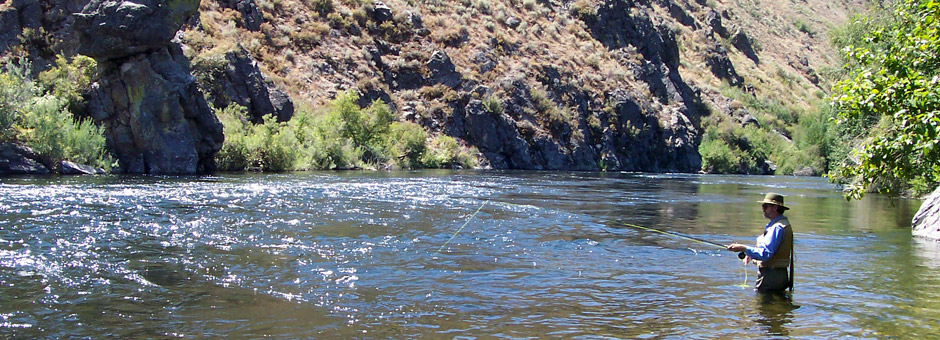
During my years in Idaho, I have fished the South Fork of the Boise River extensively. Early on, I realized the South Fork downstream of Anderson Ranch Dam was a very special river in regards to it’s trout fishing. The river is considered a blue ribbon fishery and is nationally recognized as such. It has excellent water quality, a reliable and protected flow regime, and habitat ingredients to provide for a healthy trout fishery. The Idaho Department of Fish and Game stopped stocking the river in the mid 1970’s and a self perpetuating rainbow trout fishery has been managed for over 40 years under trophy trout regulations.
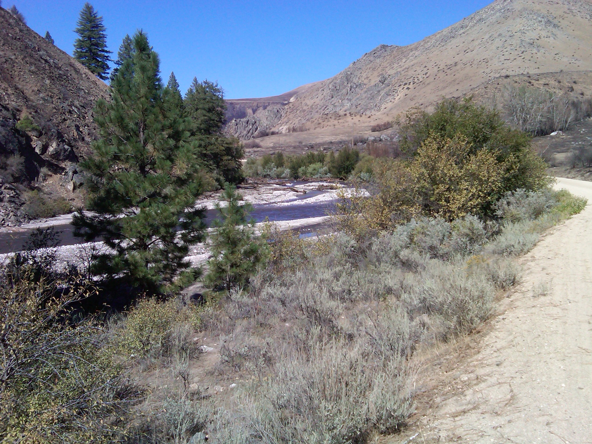
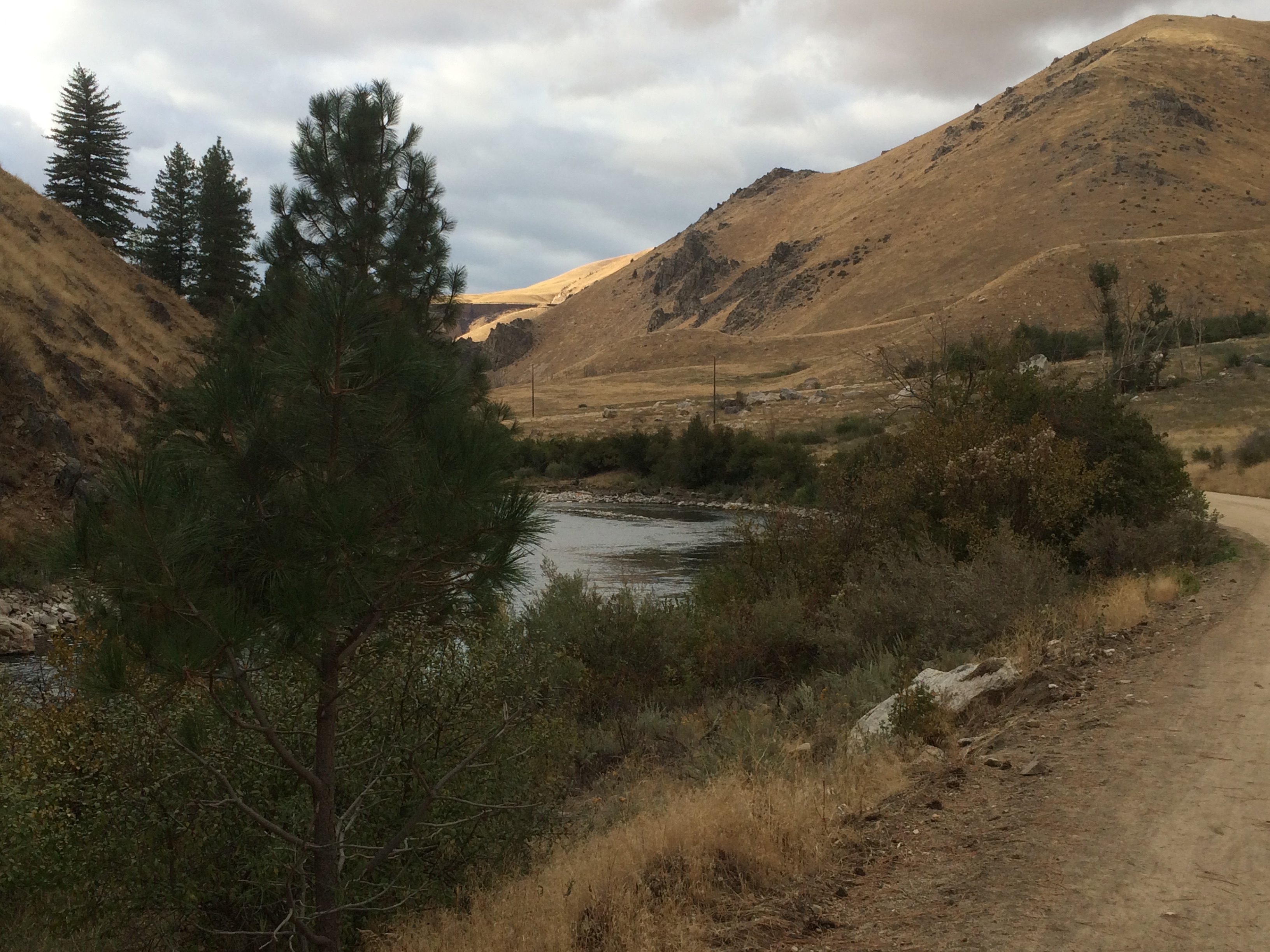
 The South Fork downstream of Anderson Ranch Dam is undoubtedly the most popular fly fishing destination in Southwest Idaho. Over the years, I have observed increasing numbers of anglers on the South Fork, to the point now, it can be difficult to find road pull off parking and a run to fish. Even during weekdays. More and more, out of state anglers are fishing the South Fork as evidenced by their license plates. Private outfitting is not permitted on the river because of the heavy use by the general public. During summertime irrigation season releases, there is a high amount of float boat use on the 10 mile long roaded section of the river. I inquired with three full service fly shop businesses in our area, and their managers/ owners informed me that they believe that fully 1/3 of their business comes from anglers headed to the South Fork. In 2011, Fish and Game conducted a statewide telephone and mail based economic survey and determined that the South Fork downstream of Anderson Ranch Dam generated 28,600 angler trips and $4.6 million in trip related spending annually. That was 7 years ago and more use is surely occurring now. South Fork sportsmen are spending money on outdoor gear, lodging, gas, food and beverage supplies.
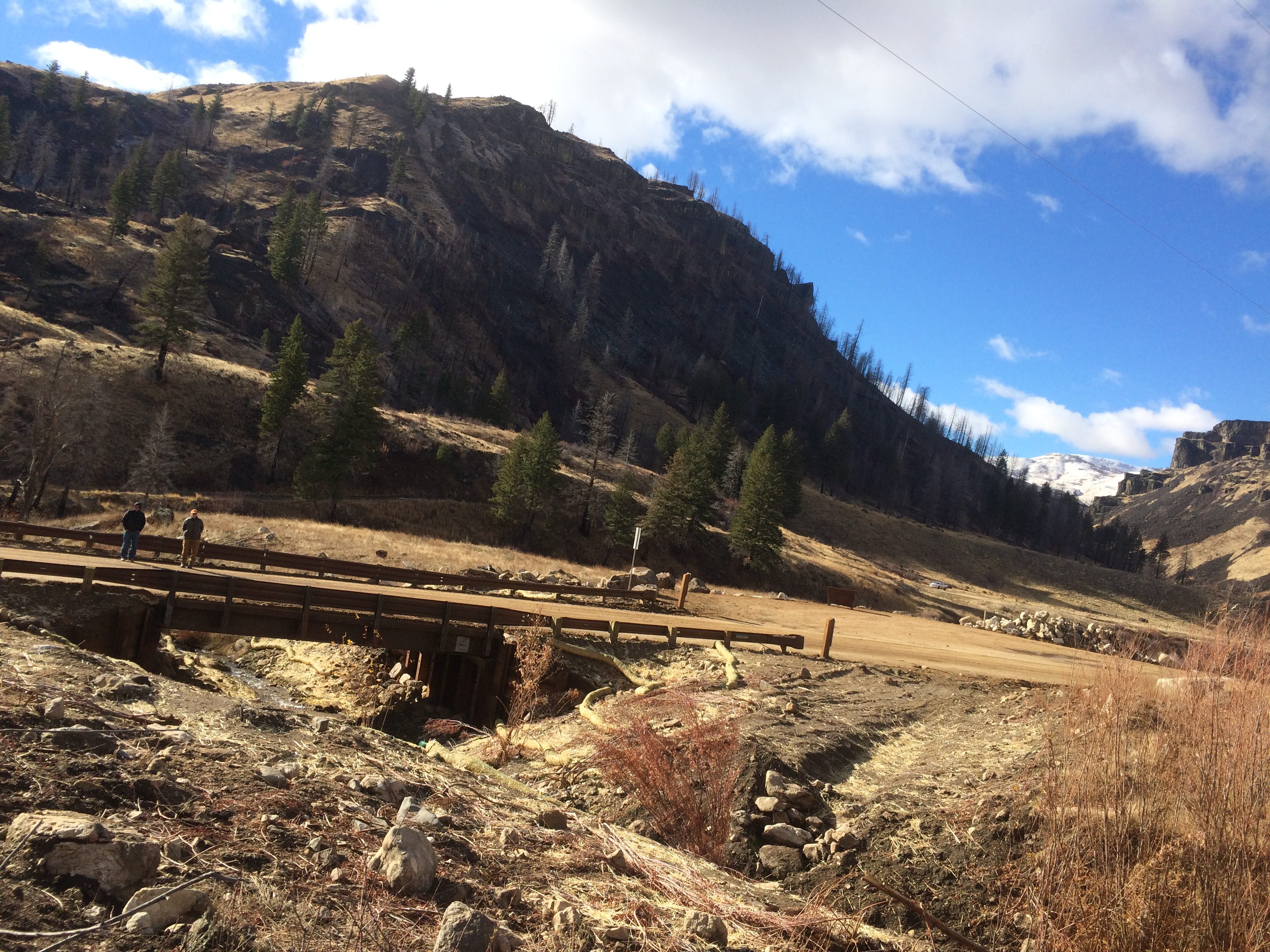
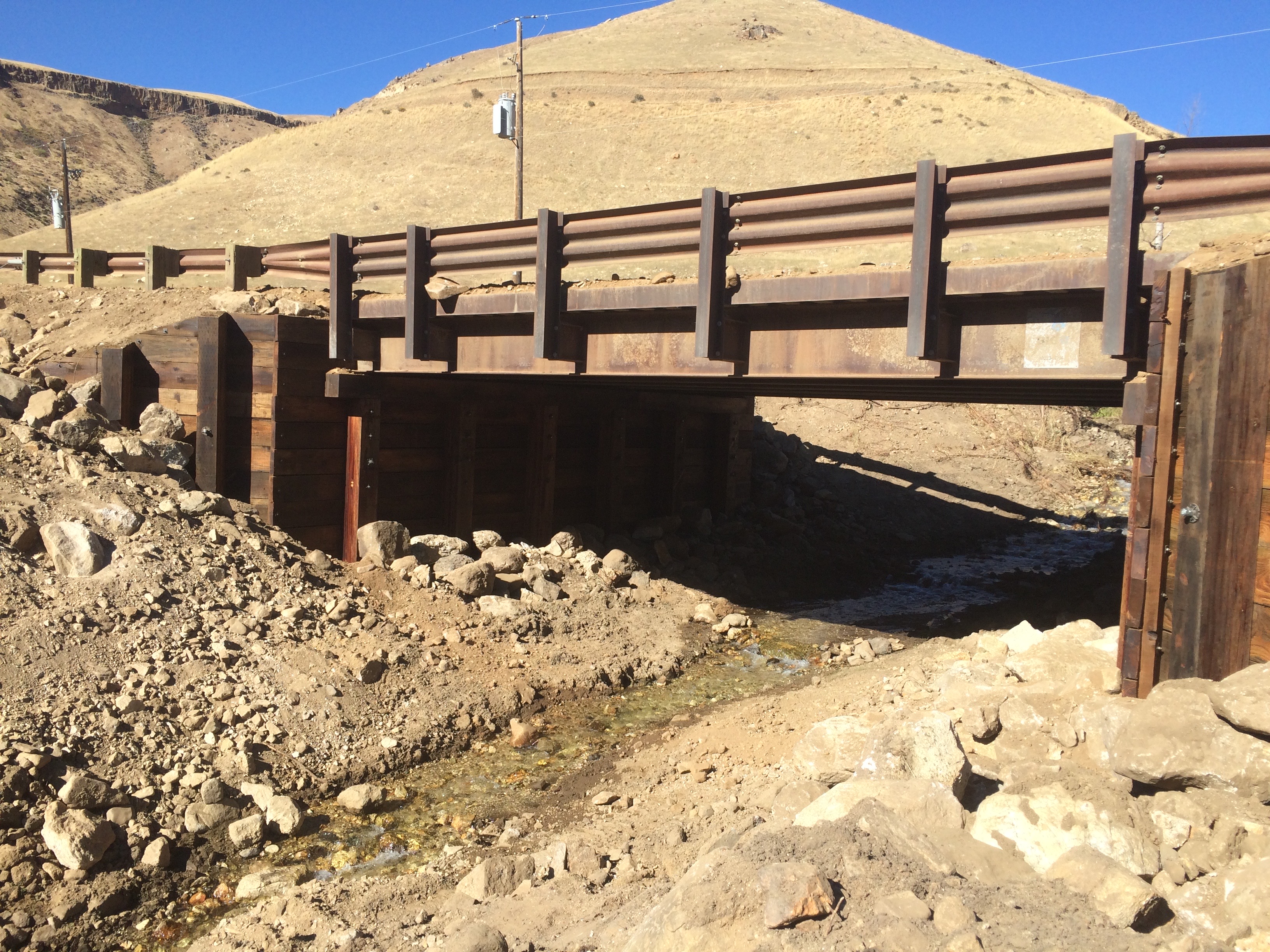
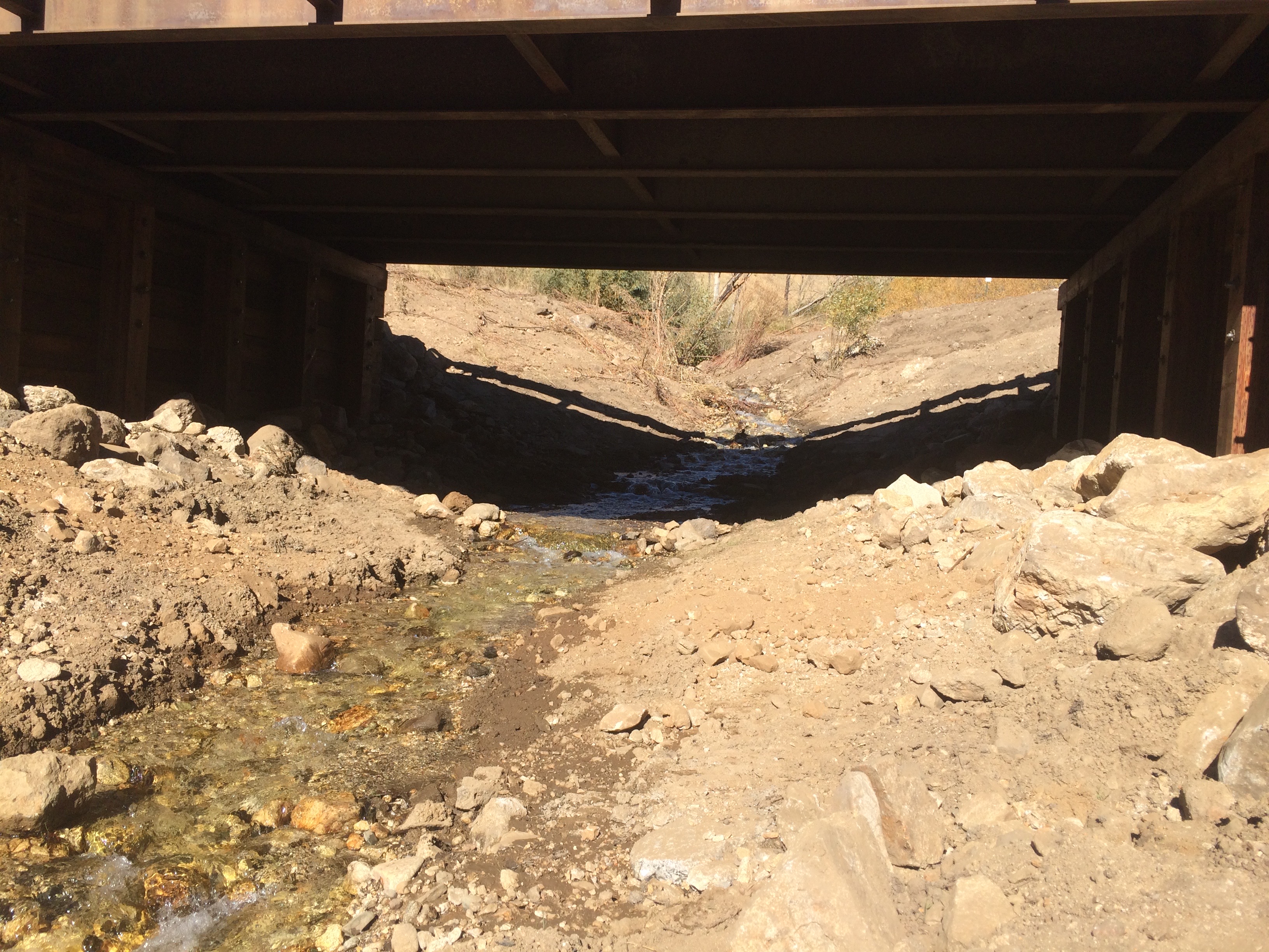
Trout Unlimited has a stake in the South Fork. Over the years we have devoted a substantial part of our chapter’s conservation efforts to the South Fork. We have raised over $30,000 for habitat improvement projects there. This money has been leveraged with other outside entity funding commitments totaling $140,000 to complete a variety of habitat projects and investigative studies. In doing so, we have collaborated with Fish and Game, US Forest Service, the Bureau of Reclamation, the Mountain Home Highway District and other area fishing clubs. We have provided volunteers to help in South Fork juvenile fish surveys, adult fish density studies, fish stranding evaluations, riparian restoration planting’s and tributary fish passage blockage determinations. In 2008, Trout Unlimited professional staff conducted a study to identify the genetic origins of the river’s trout. In 2011, we took the lead in a project to remove the Pierce Creek road culvert fish blockage and replace it with a bridge. In doing so, we worked closely with the Resource Advisory Committee to complete the $130,000 project. Following the disastrous Elk Complex Fire in 2013, Trout Unlimited helped in an investigation to develop a flushing flow plan to move sediments and channel debris from high value river reaches. In short, Trout Unlimited and the Ted Trueblood Chapter have been deeply invested in working to preserve the South Fork fishery.
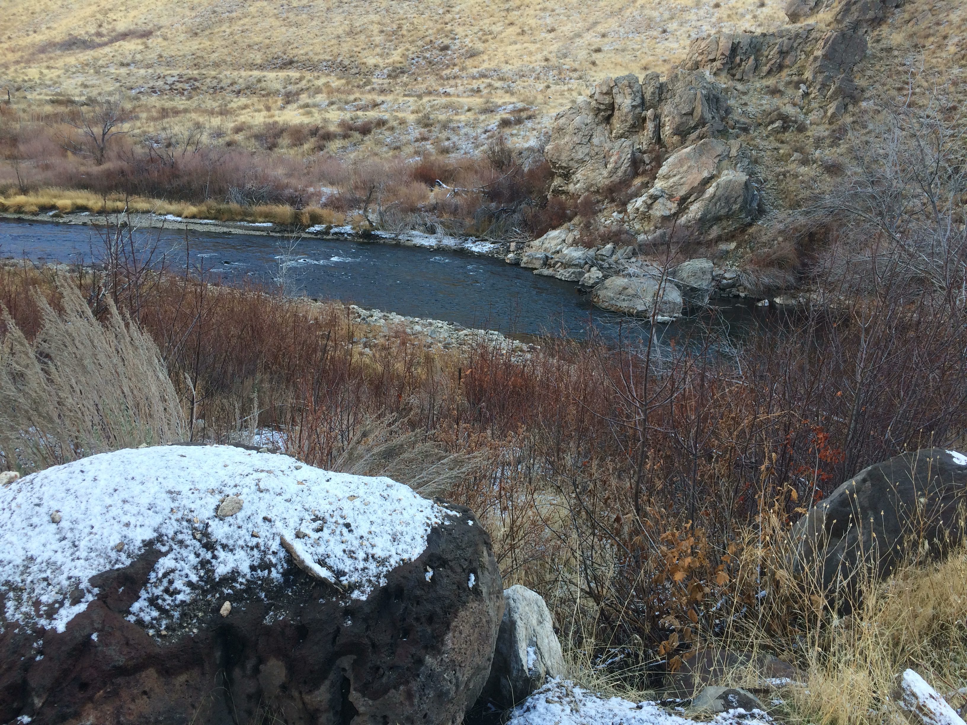
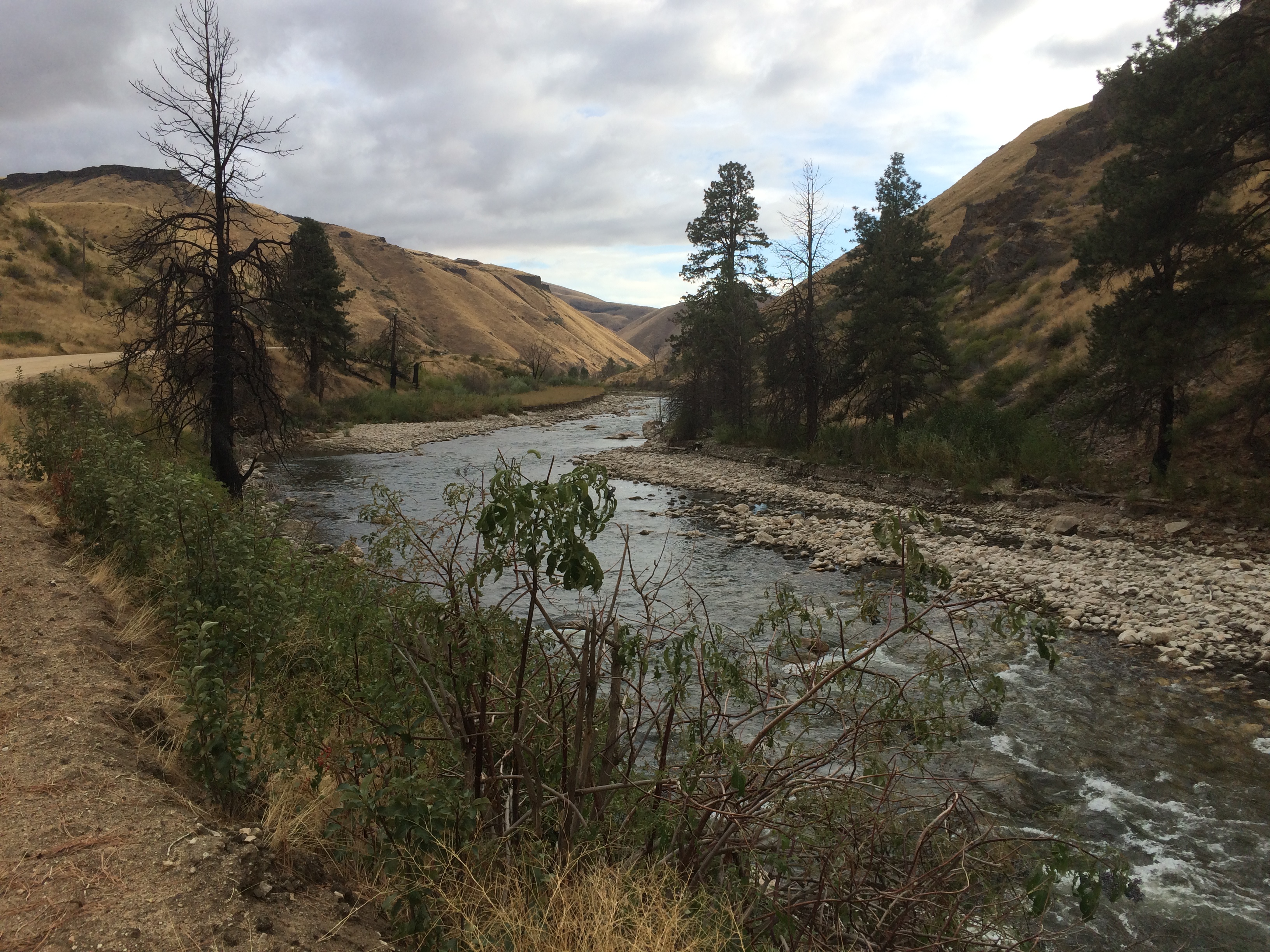
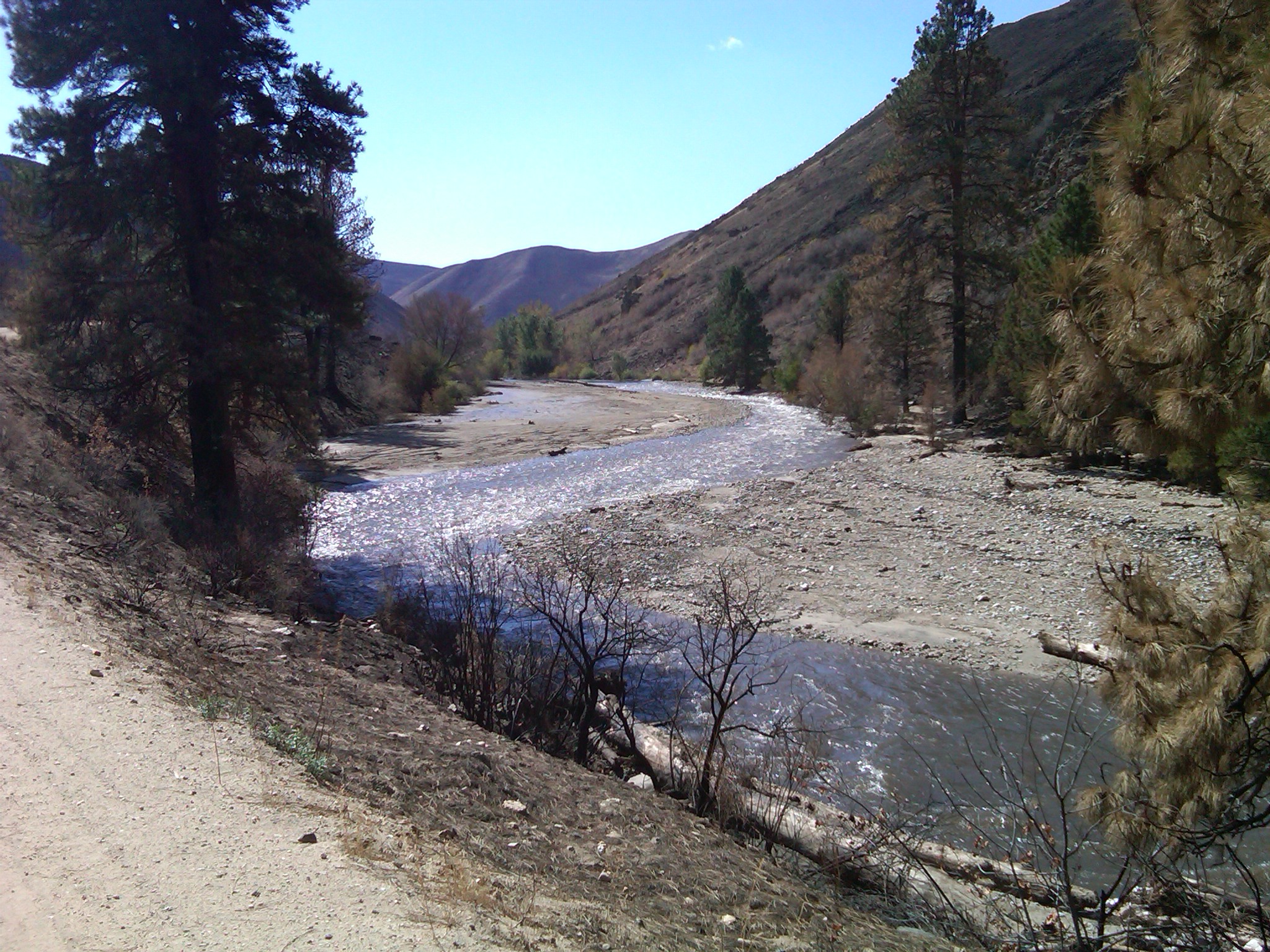
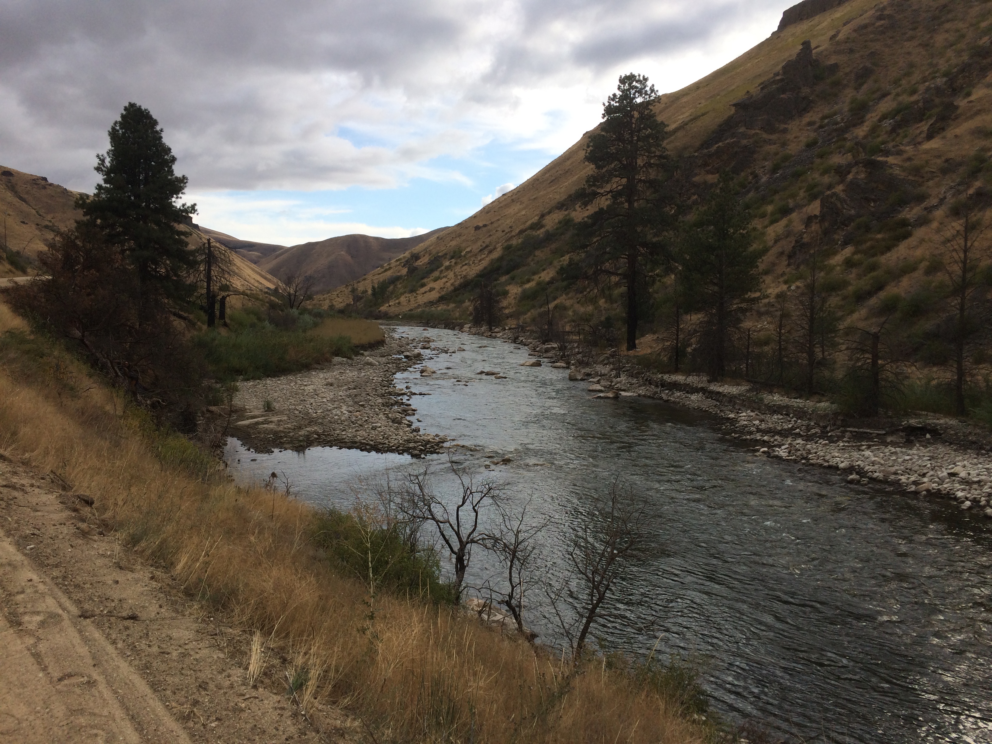
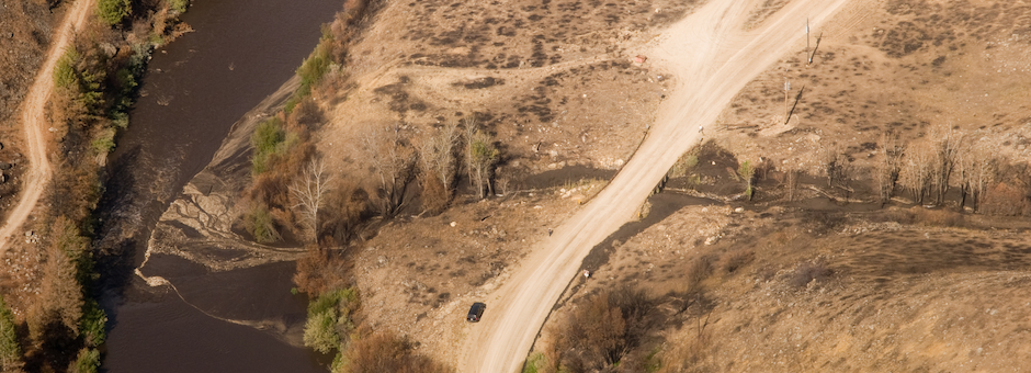
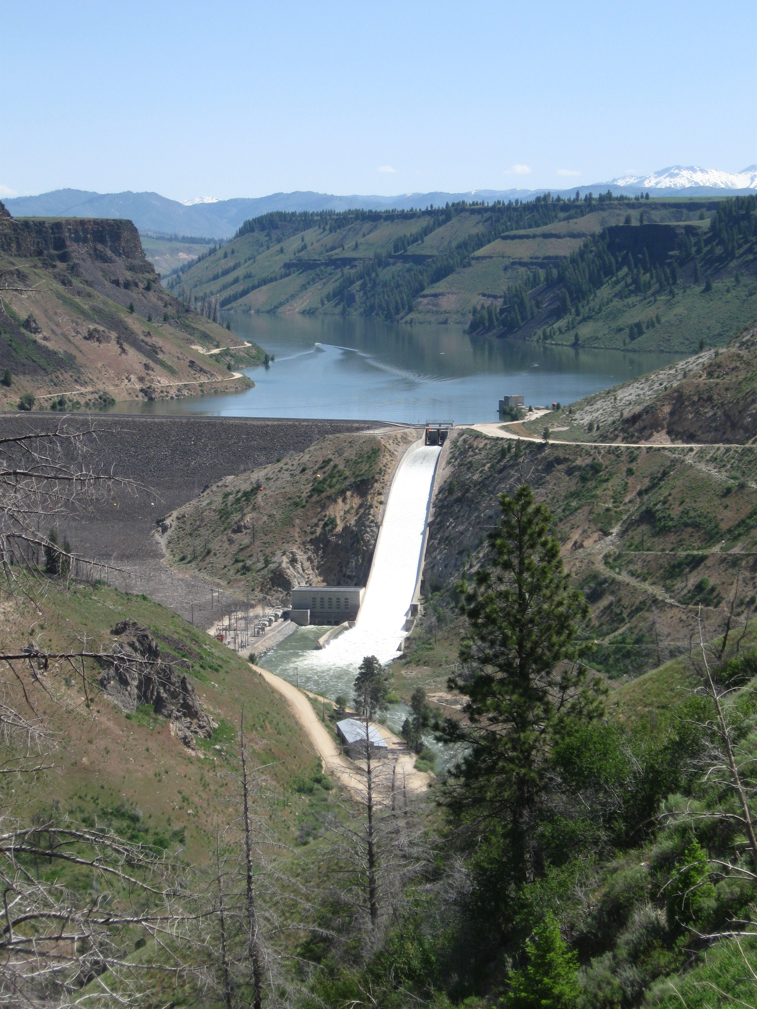
The river reach between Anderson Ranch Dam and Arrowrock Reservoir is a tailwater fishery that is totally influenced by water discharges from the dam. Reclamation provides structured flow releases and water management throughout the year to help assure the continuance of a robust and naturally functioning wild trout fishery. Outside the normal summer irrigation releases of 1,600 – 1,800 cfs, seasonal flow release targets are:
• 300 cfs from September 16 to March 31 (fall/winter fish habitat maintenance and survival)
• 600 cfs from April 1 to September 15 (rainbow trout spawning and rearing habitat maintenance)
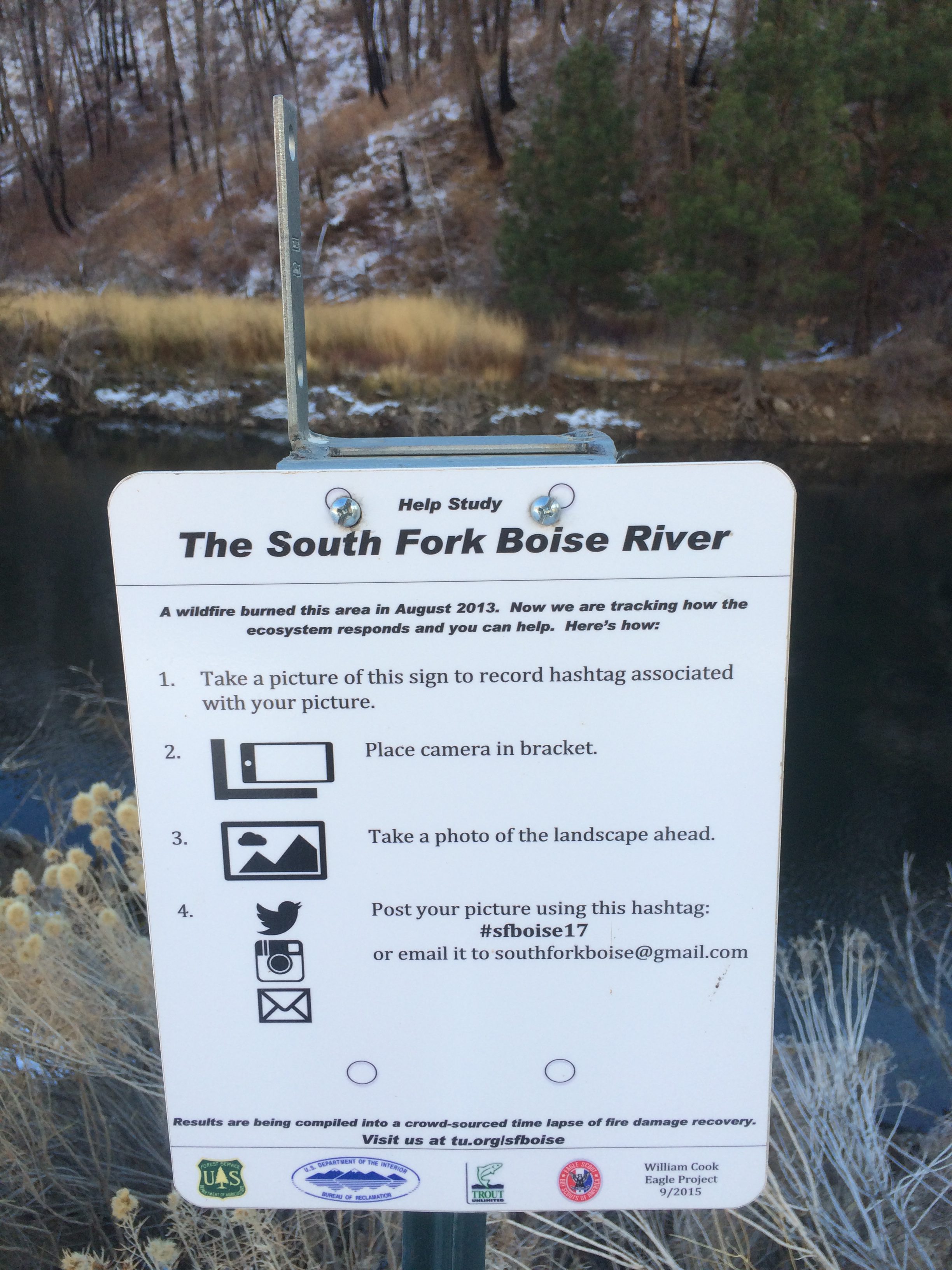
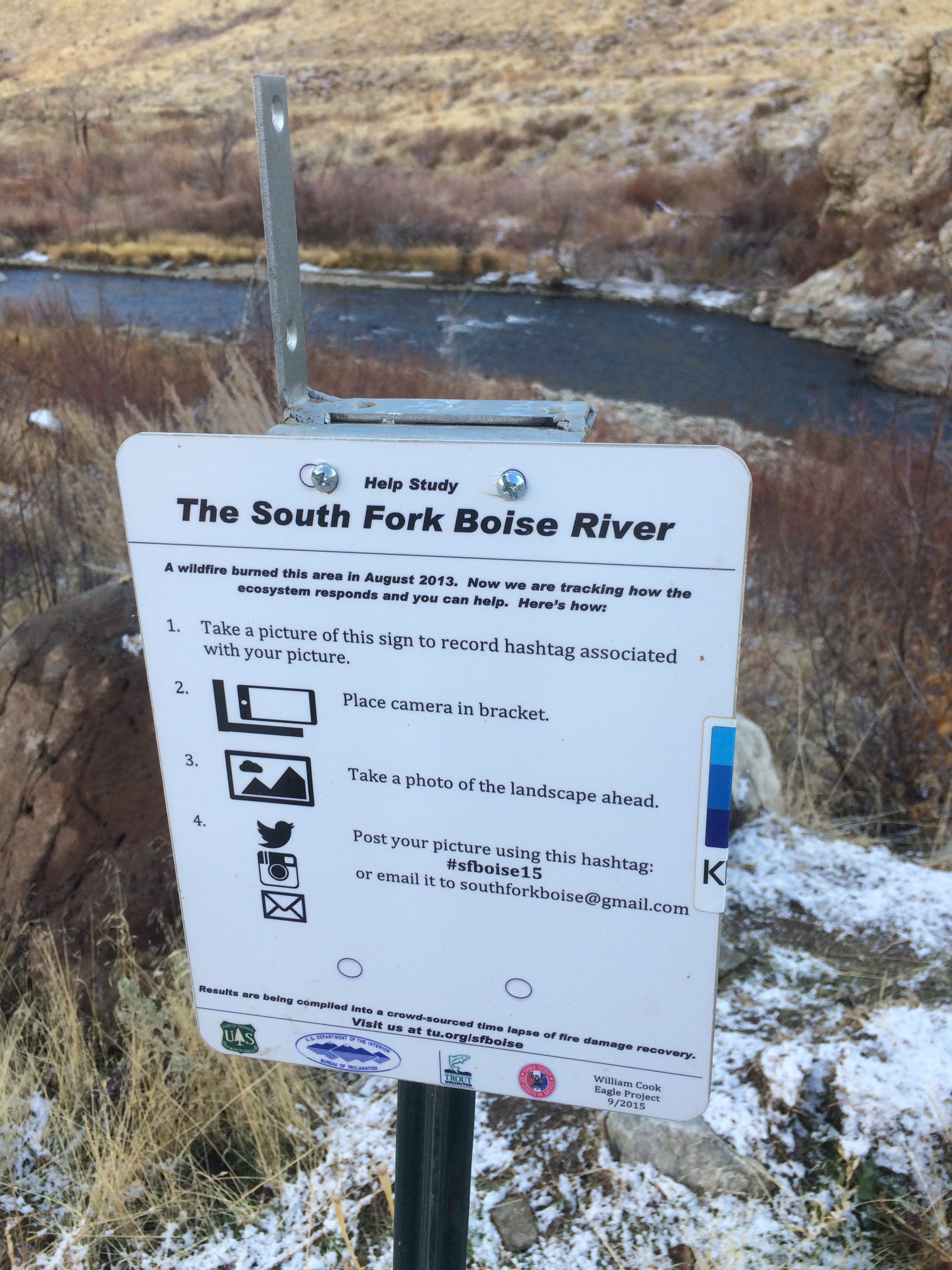
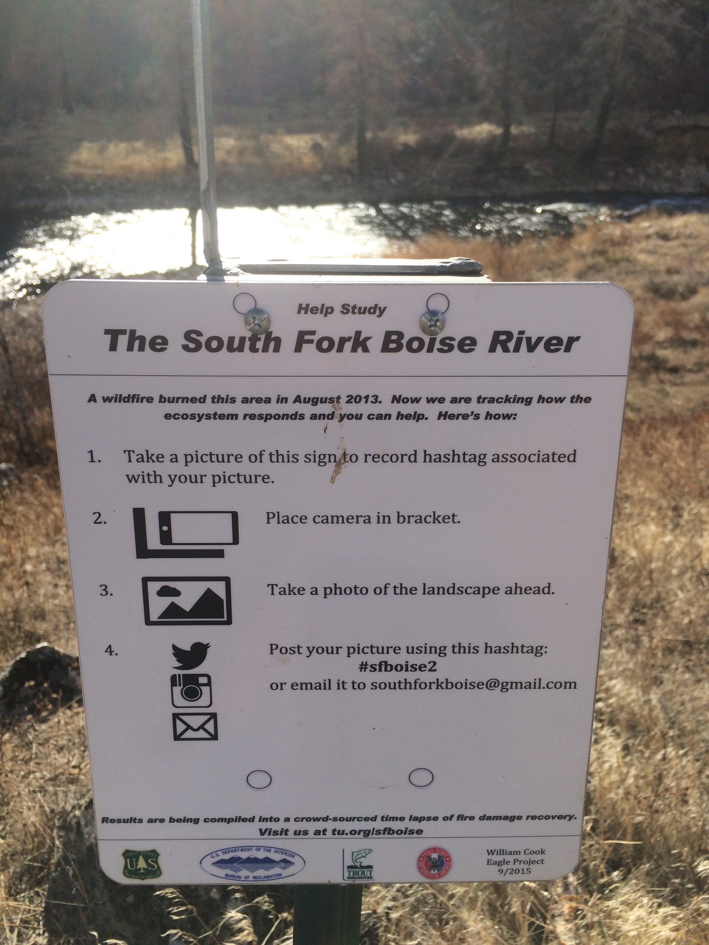
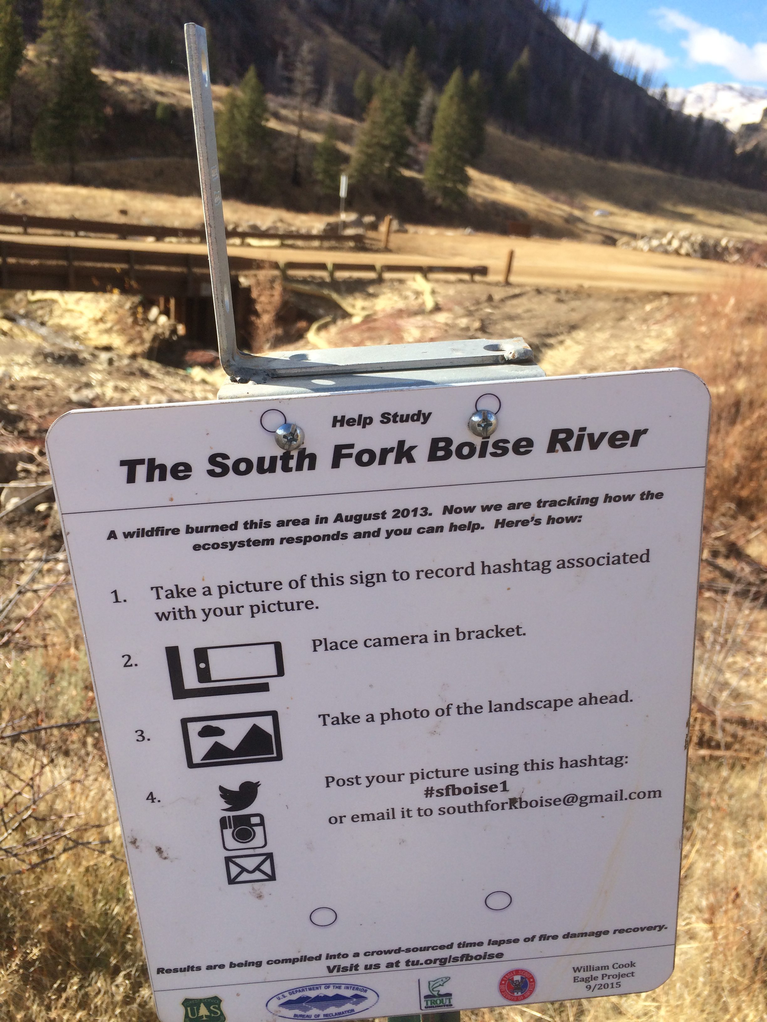
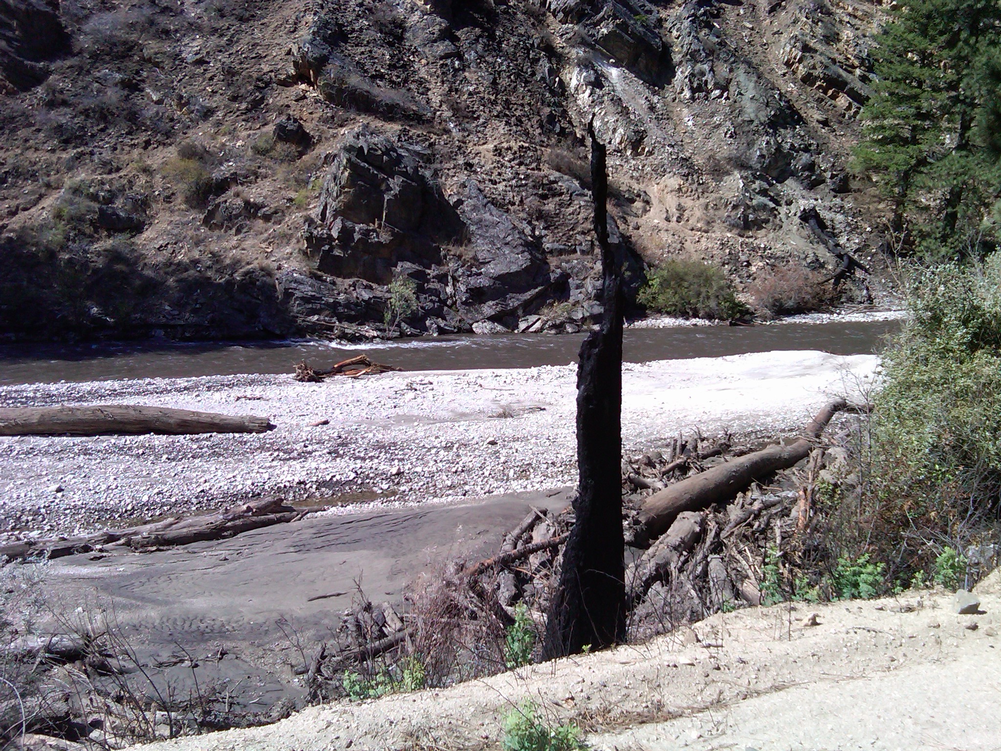
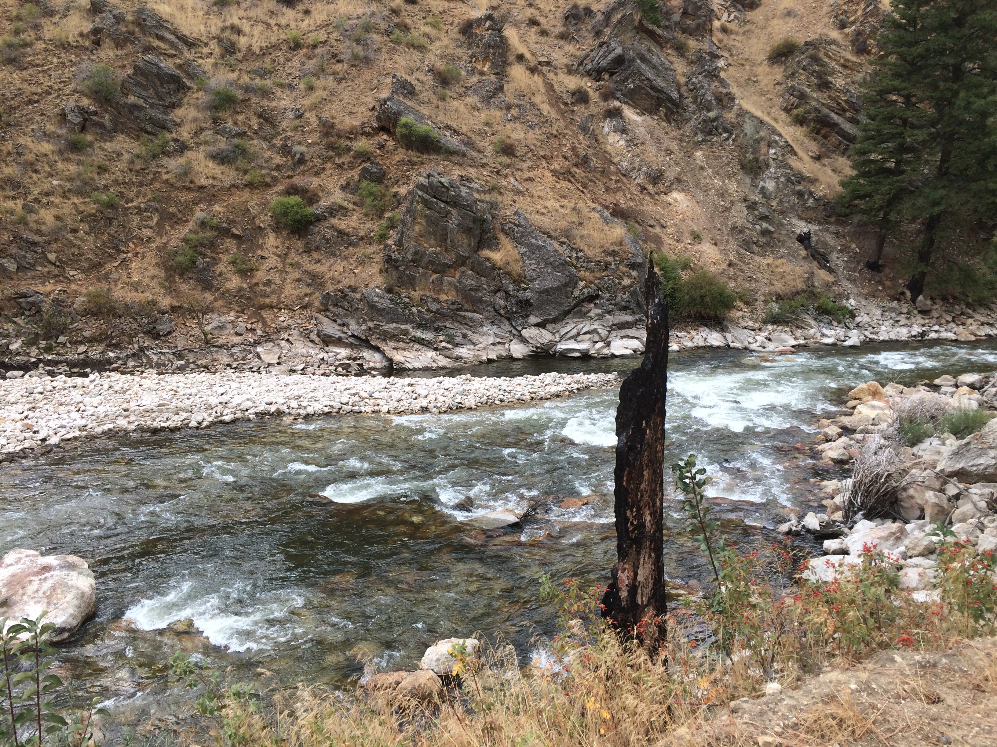
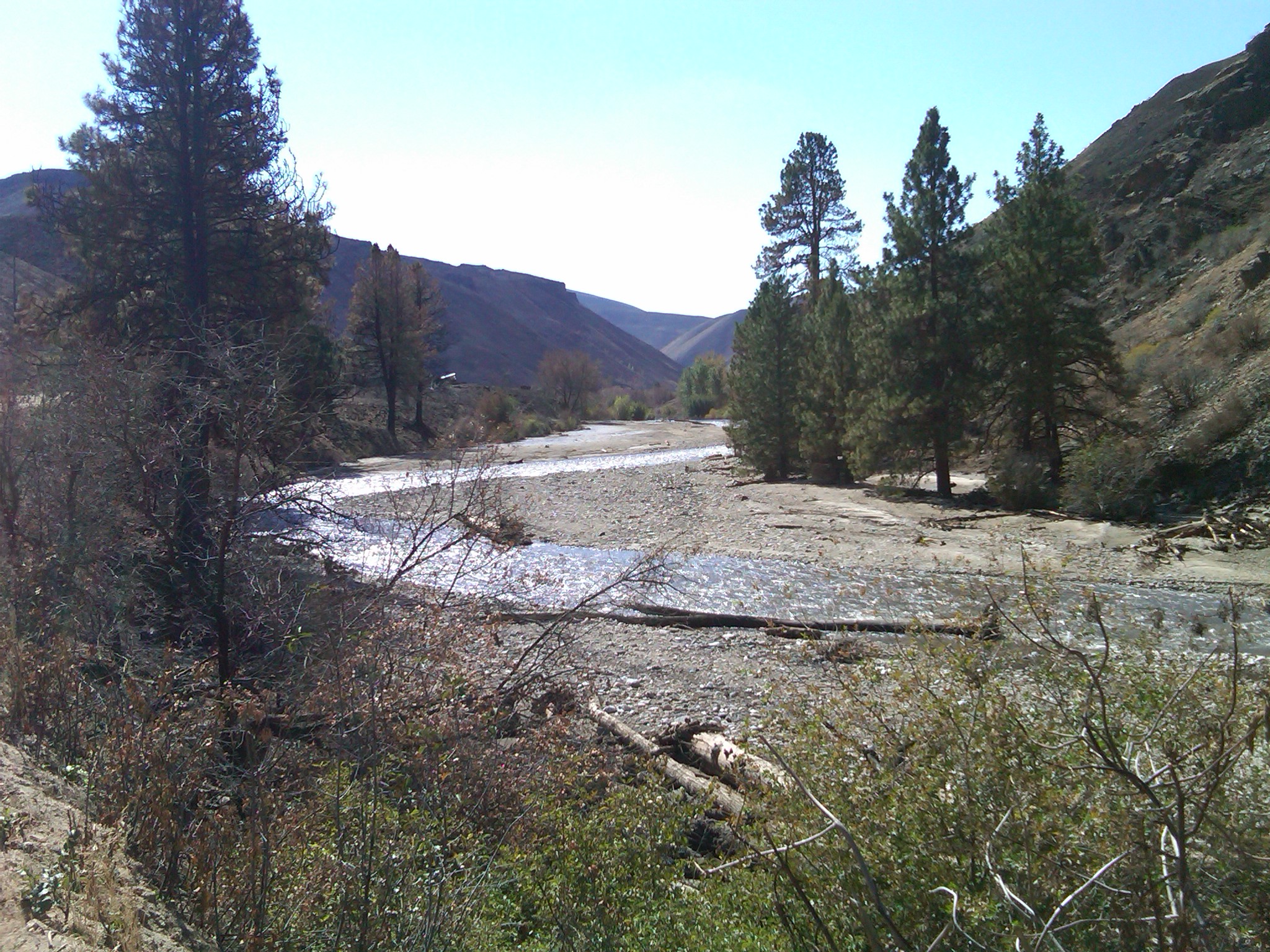
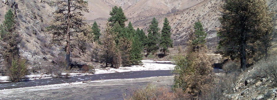
In good water years, higher springtime flow releases for flood control management have been extremely valuable in resorting river channel substrates and the flushing of accumulated sediments from past wildfires. Our southforkboise.org website, includes photos documenting dramatic changes from sediment flushing after flood control releases in 2017. These high spring flows are important to sustaining the fishery.
The Ted Trueblood Chapter recognizes that there is a Mountain Home water need. But we must register our concern as to how this Elmore County 20,000 AF withdrawal in possible combination with other proposed water storage projects such as the Anderson Ranch Dam raise and the Cat Creek Summit Energy Pump Storage Project could reduce established fish flows on the South Fork Boise. We urge the Department of Water Resources to exercise great caution when considering granting a new water right use outside the South Fork basin. We are most concerned with maintaining the established winter and spring base and flushing flows. Any new water diversion, it would seem, will make it more difficult to sustain the existing fishery flow regime from Anderson Ranch Dam.