Blog

Flows Remain Low This Spring

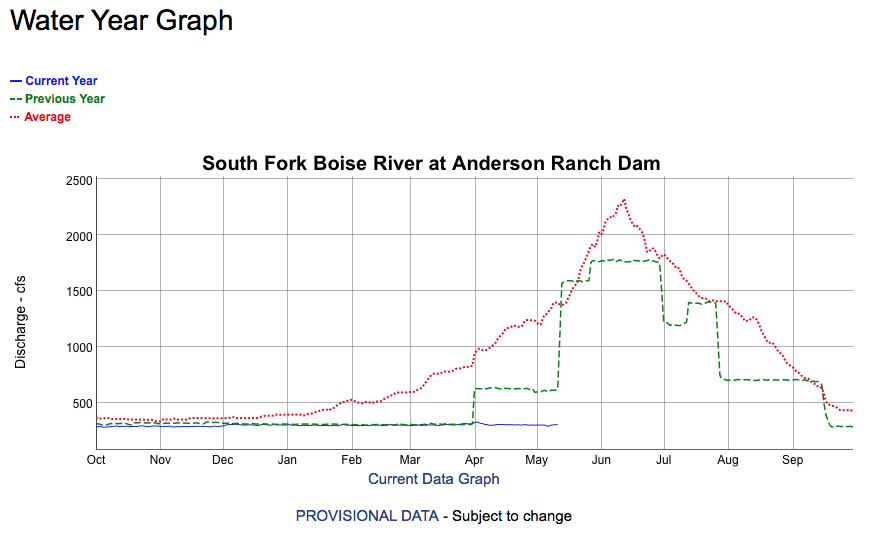
Wow, it’s mid-May and the flows from Anderson Ranch Dam remain at the winter minimum 300 cfs. Normally this time of year the flows in the South Fork Boise River will be running 600 cfs. As the chart below shows, last year the flows increase from 300 cfs to 600 cfs on April 1, 2021.

Screen grab from the Bureau of Reclamation webpage.

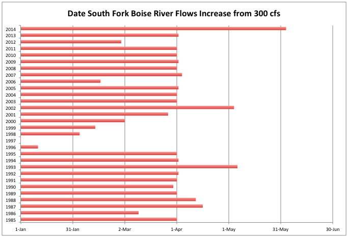
The last time that 300 cfs flows extended into the spring spawning season was 2014, which came after the 2013 debris flows that had covered much of the South Fork Boise in sediment. A double whammy! The flows increased in early June as this chart from a previous post in 2014 showed:

Note this chart only runs to 2014. It’s what we had in the media file.

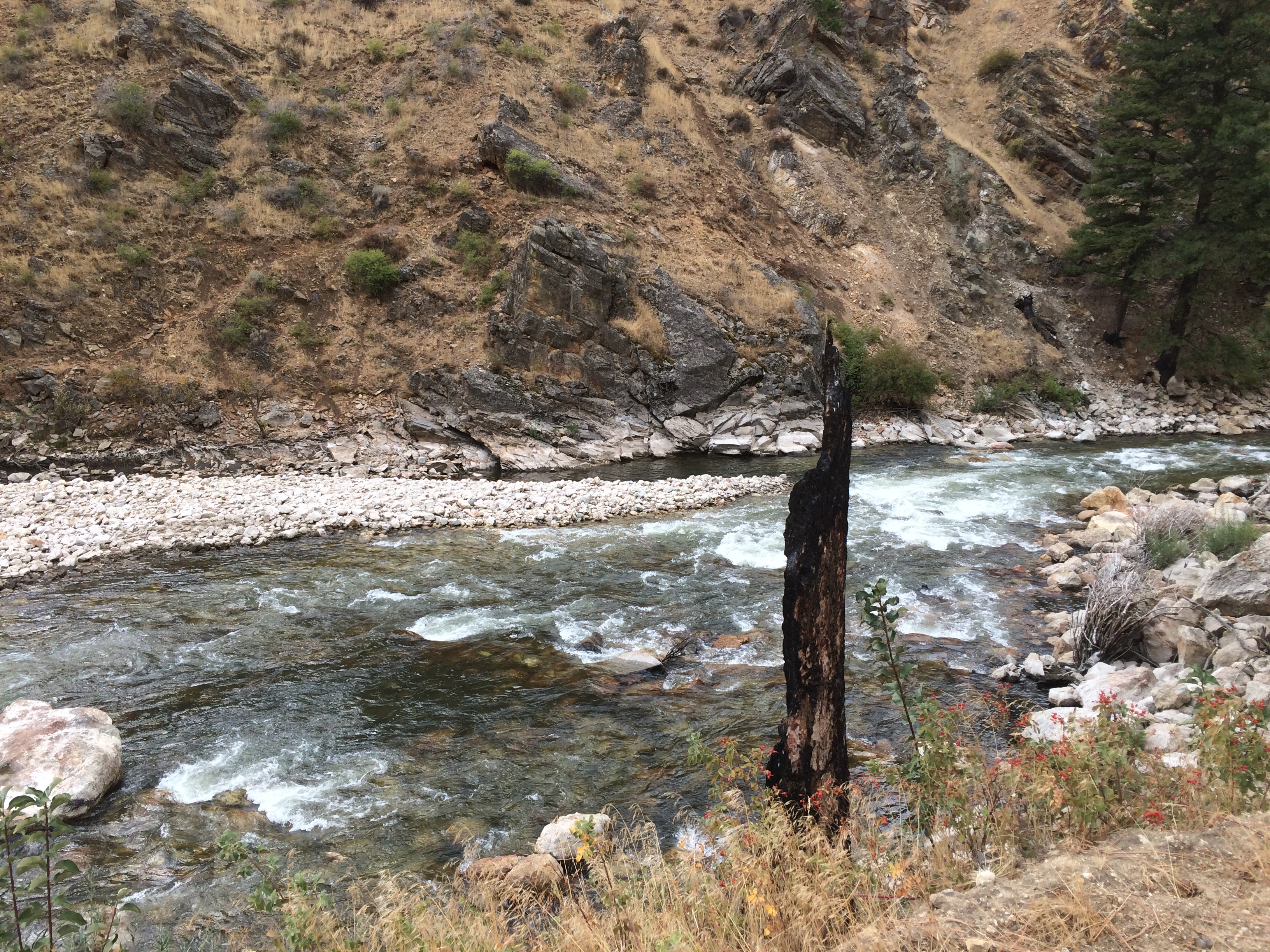
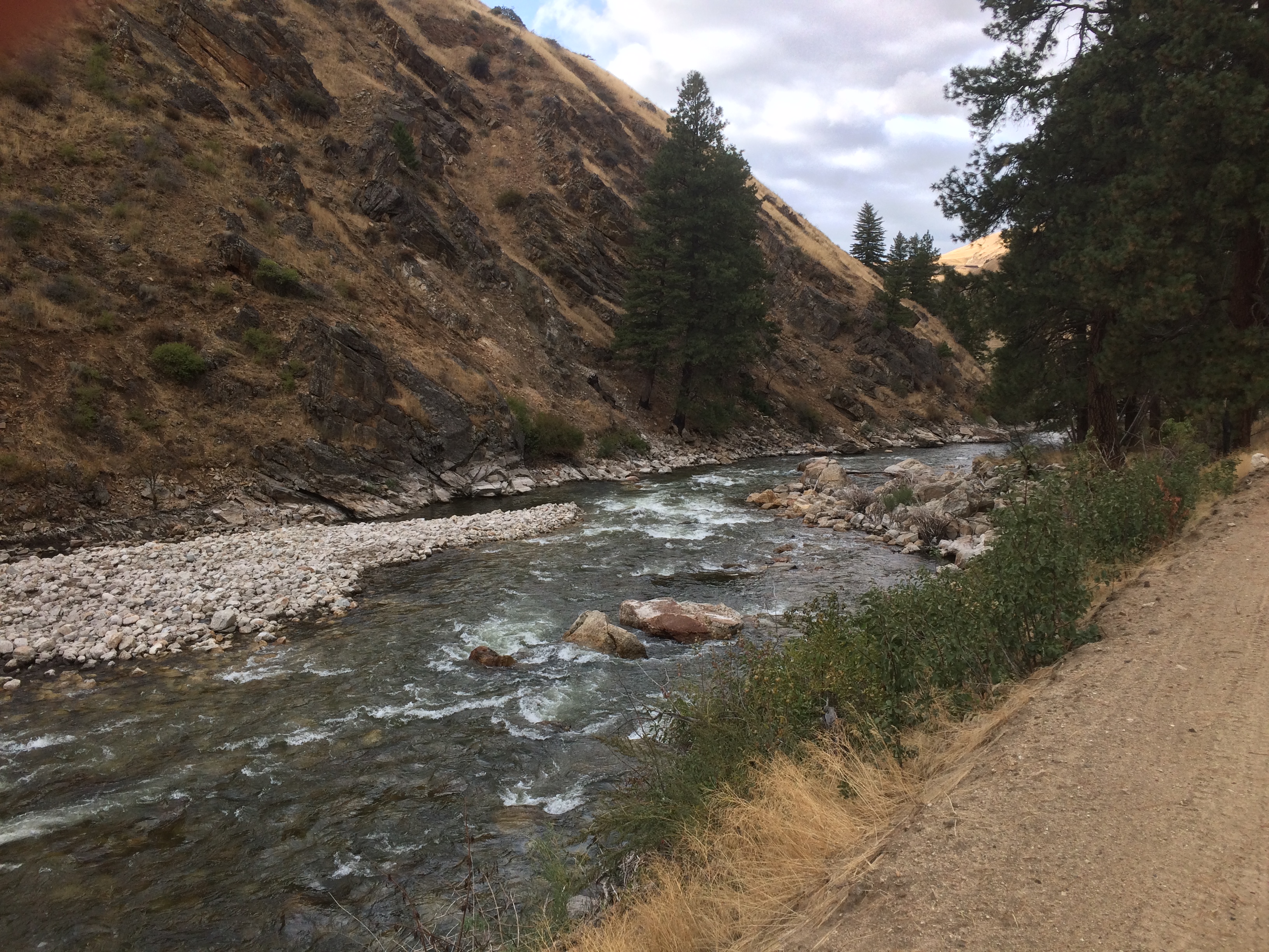
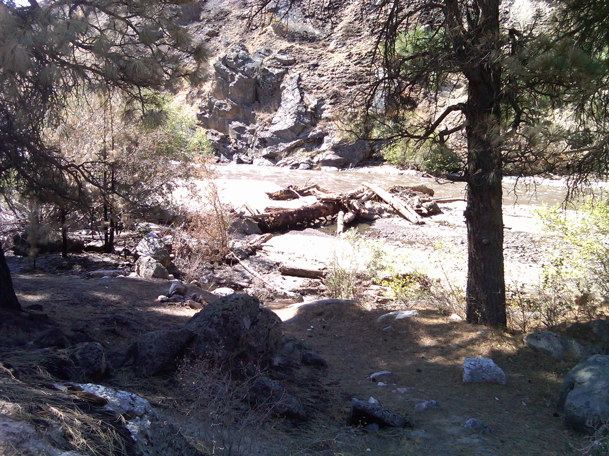
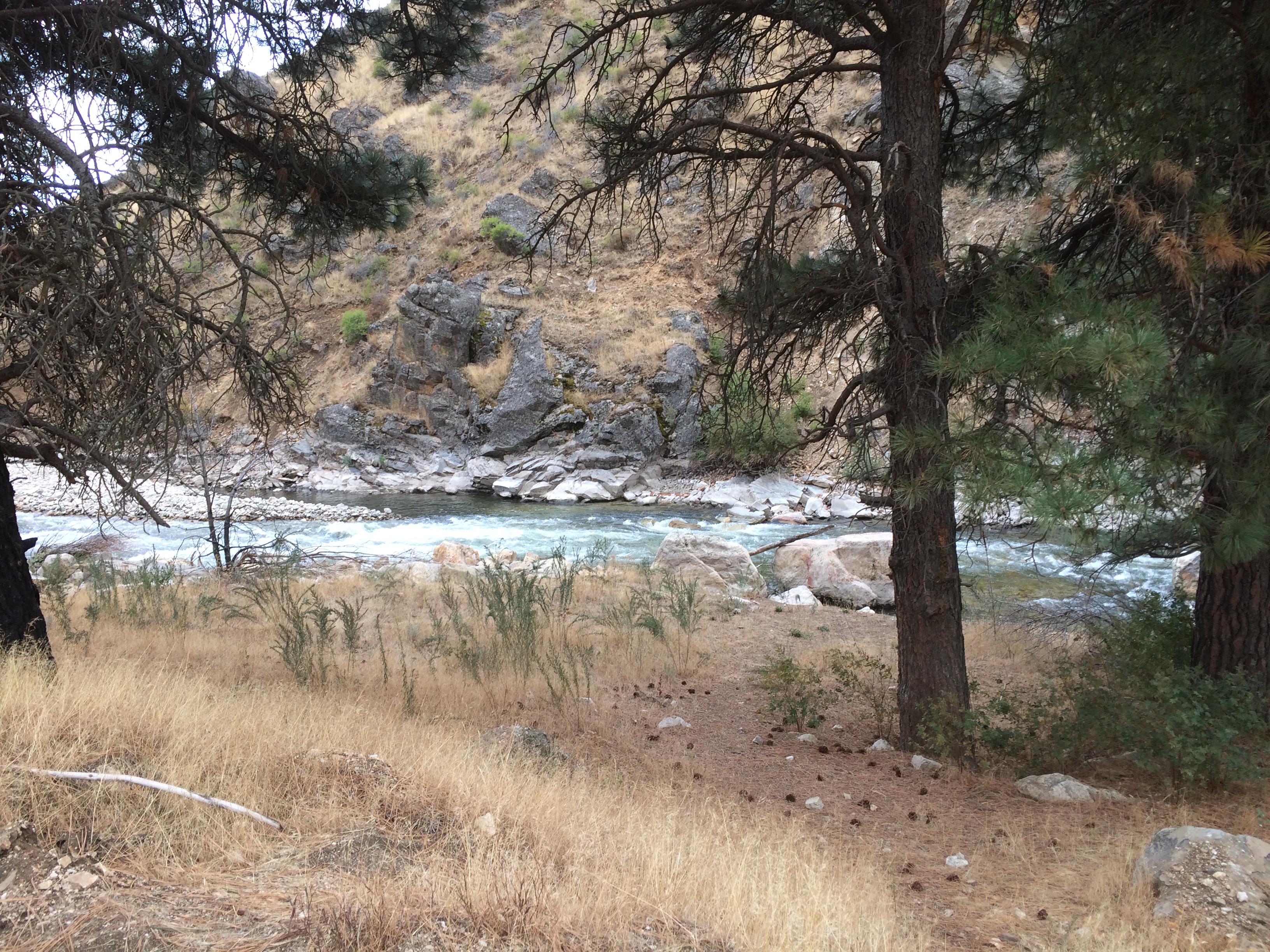
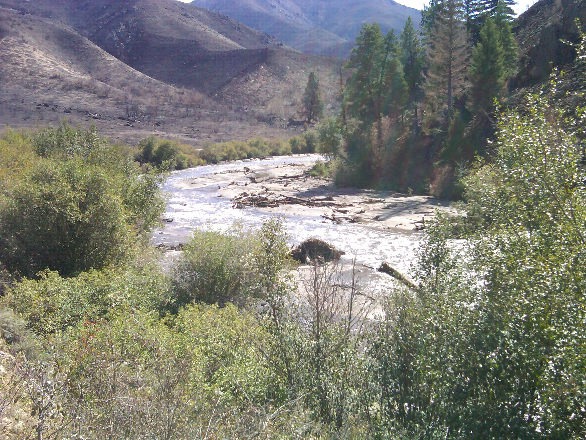
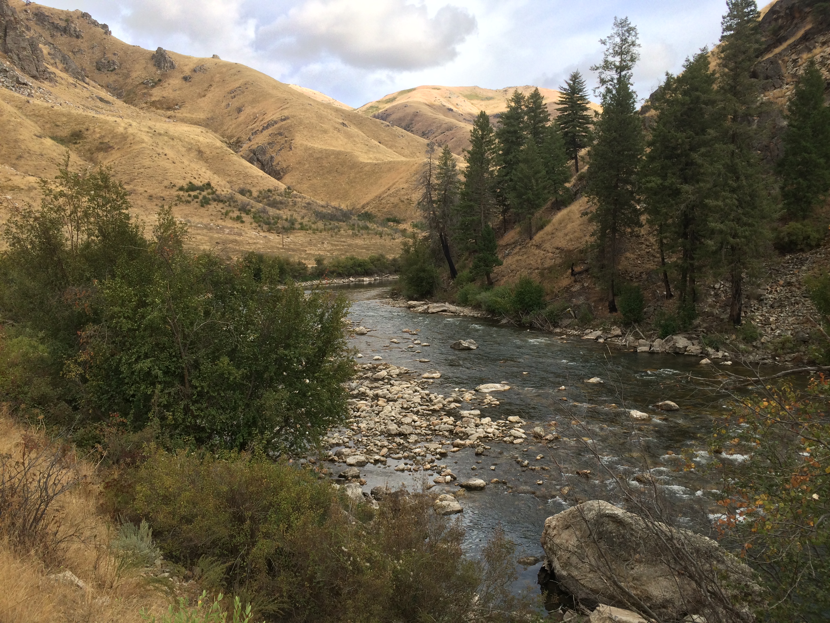
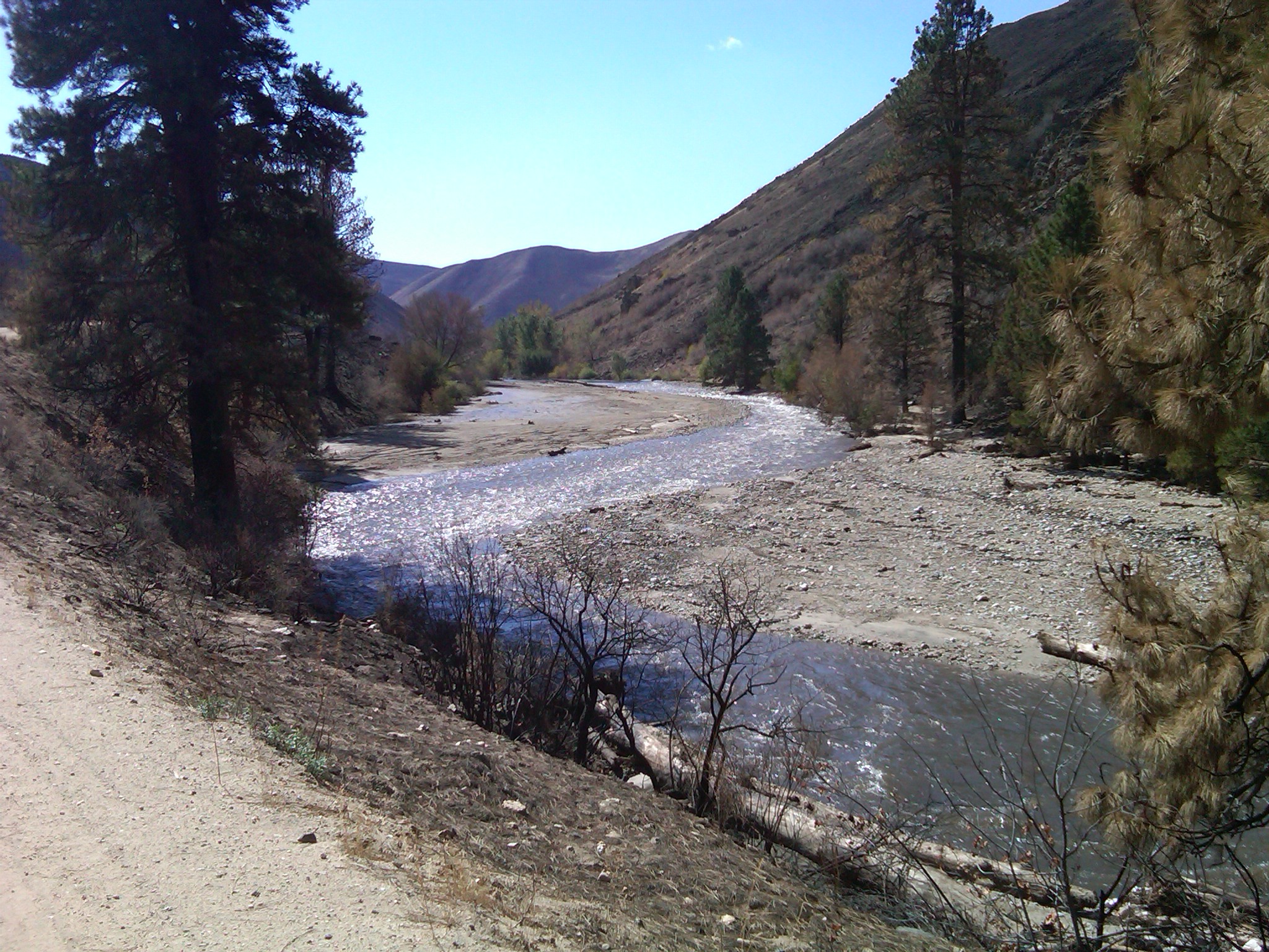
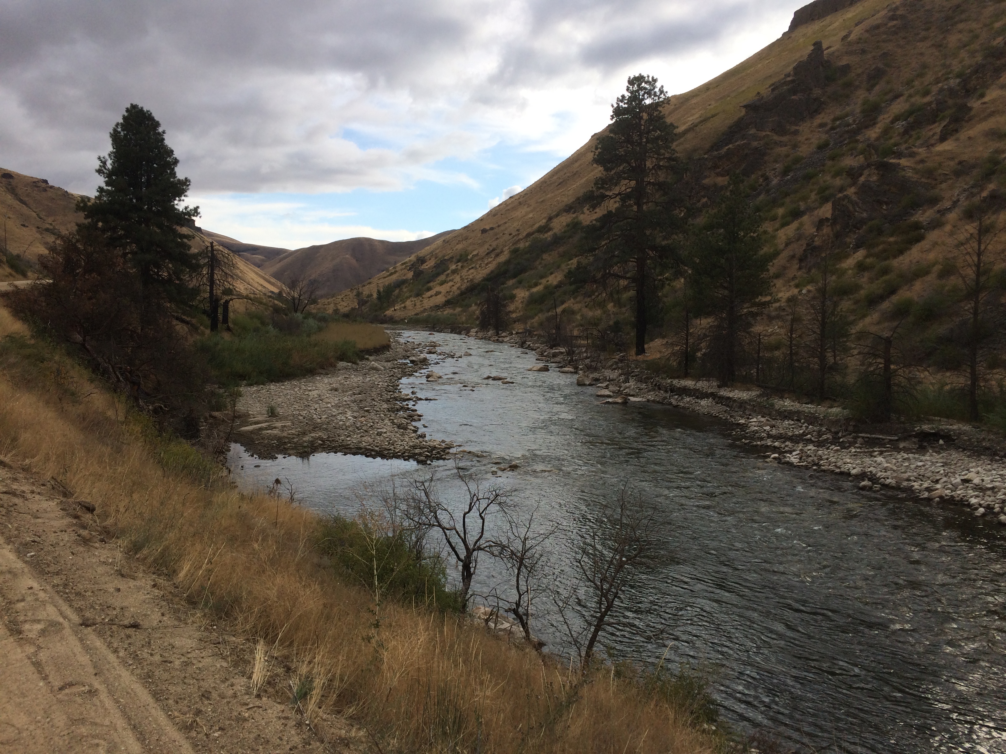
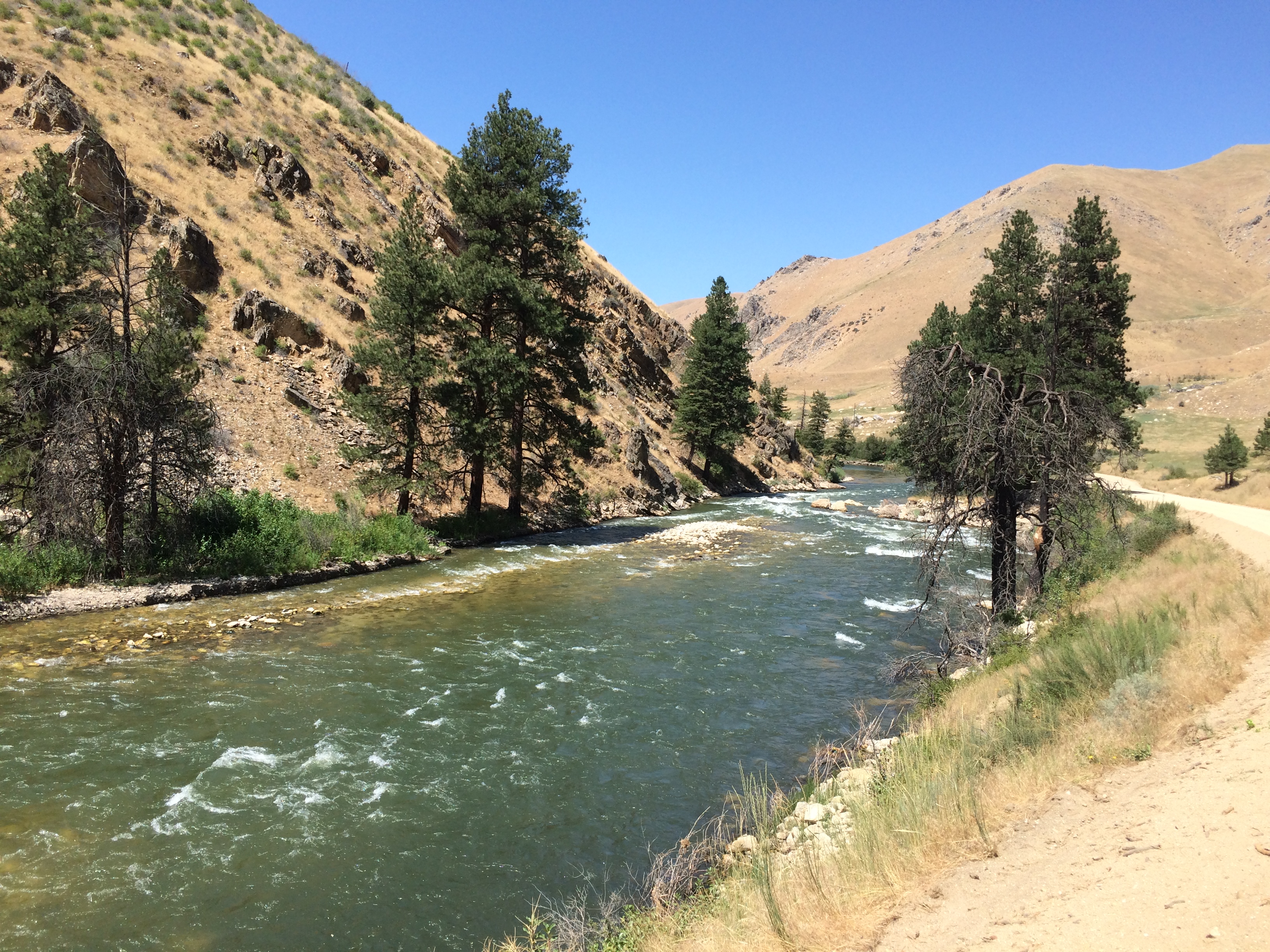
One result of the 600 cfs flows in the spring months is it waters up some side channels and allows some rainbow trout spawning in those locations. At 300 cfs we probably have less spawning areas available.

Why is this happening? There is a pretty good reason. The Boise River reservoir system is below average in water because last year was so hot and dry and until the last few weeks the snowpack was below normal. And, Anderson Ranch Reservoir sits highest upstream in the Boise River basin among the storage reservoirs and the water stored highest upstream is most valuable for future uses. As the graph below shows, Anderson Ranch is filling, maybe a little faster than it filled last year, but the total contents are still well below both long-term average and last year as well.

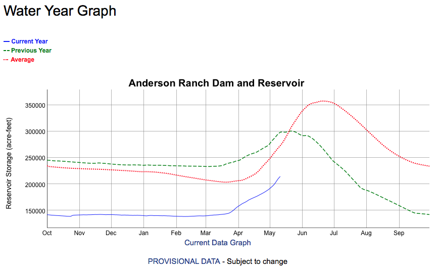
The flow of 300 cfs since April 1 being half the normal rate means so far some 25,000 acre feet more water in the reservoir then there would be if the flows were at 600 cfs.

Currently Anderson Ranch Reservoir is approximately half full and the downstream Arrowrock and Lucky Peak projects are well above half, with the natural flows from the Middle Fork Boise River poised to fill those pools when the snow melt starts in earnest.

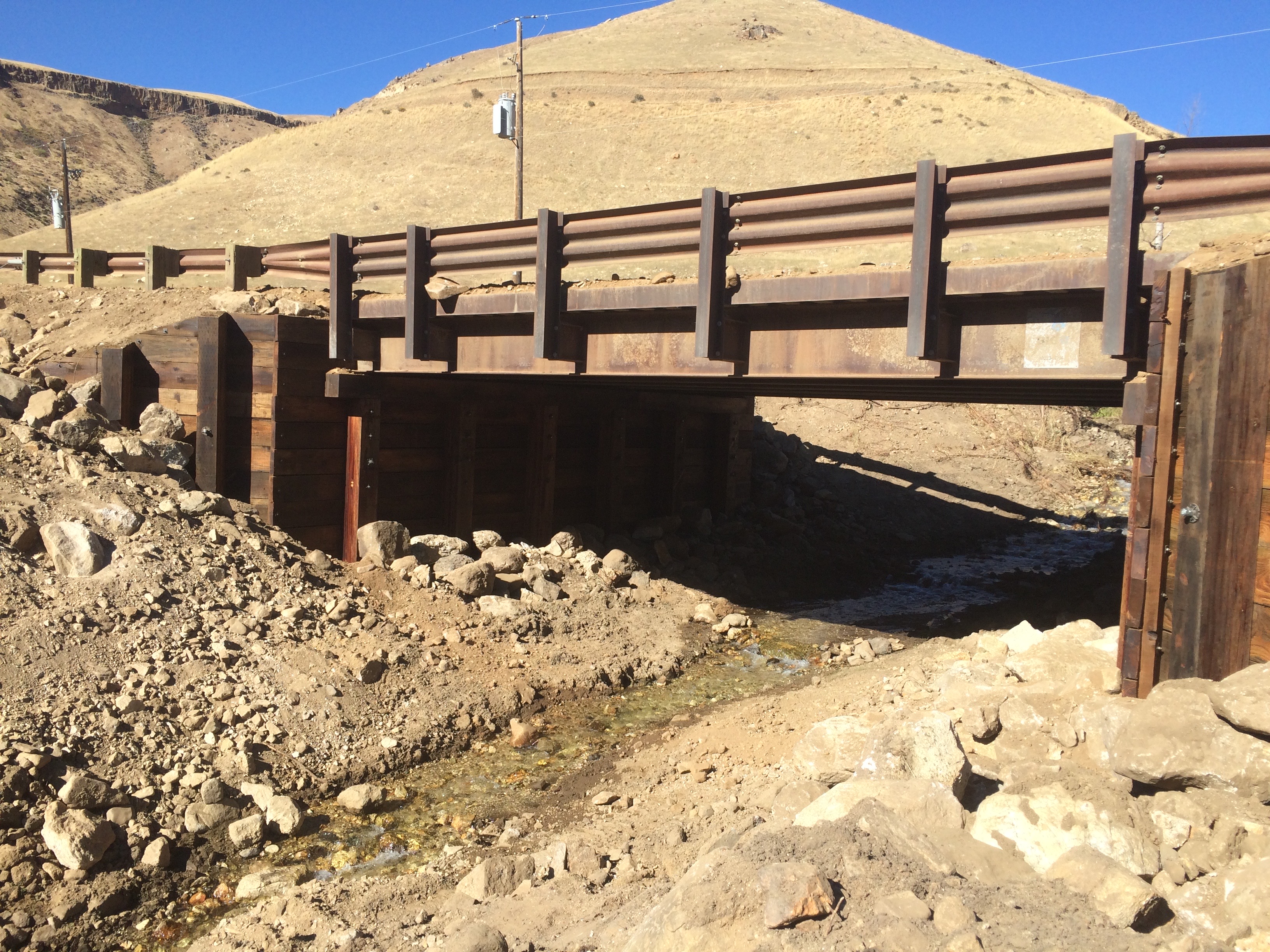
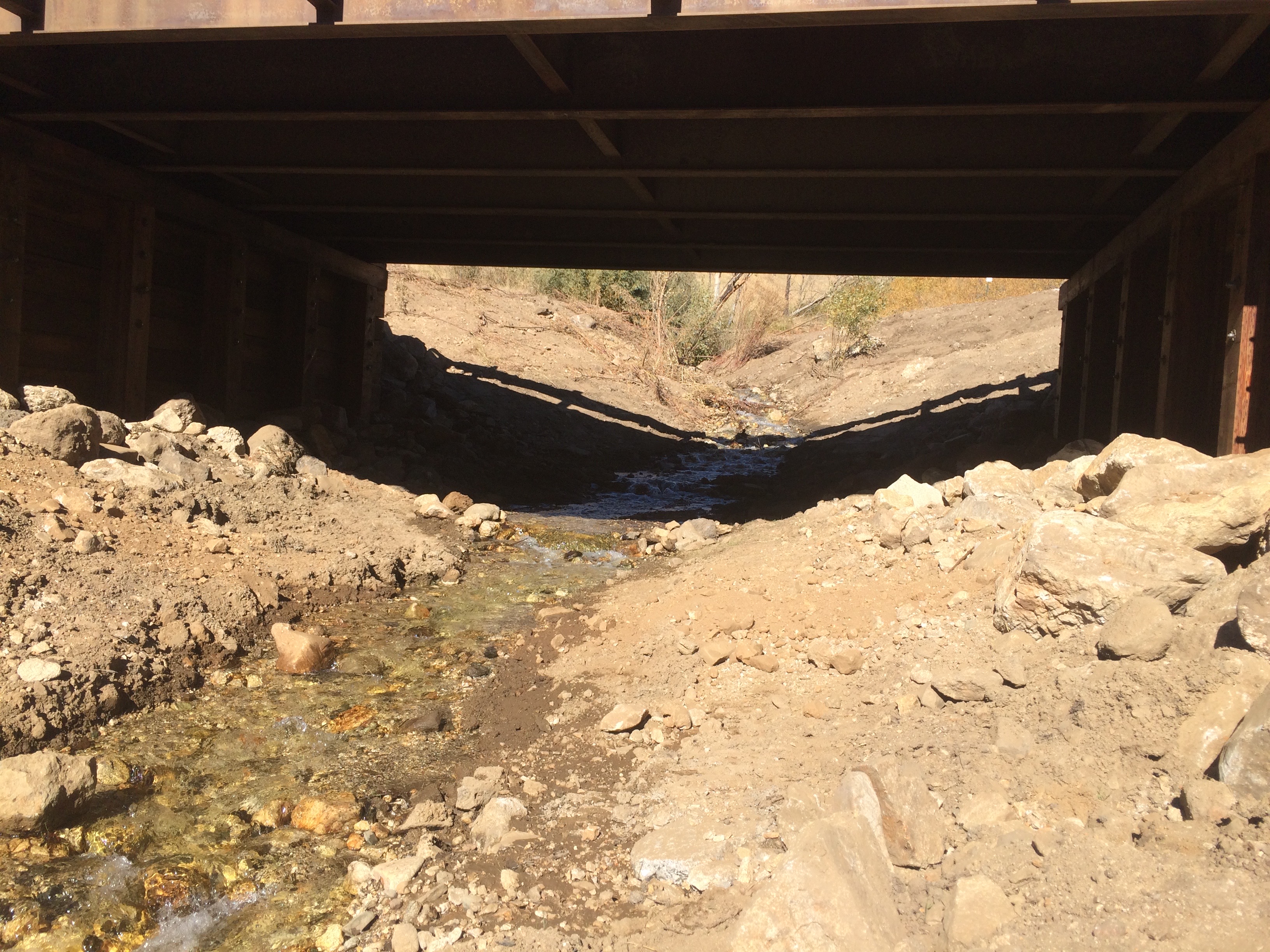
What are the implications for the fishery? There may be less spawning, or survival from it, in the mainstream river this year, versus when the river flows at 600 cfs. It also points to the importance of the tributaries that can contribute more spawning habitat with actions to improve access (where culverts may inhibit fish passage) and improved habitat. A balance of both mainstream and tributary spawning is necessary or balance the risks to the population.

Dispatches from Pierce Creek

The March 30 planting project is done.  Here’s a round up of photos and observations.

The Forest Service assigned five personnel. They provided instruction, equipment and leadership on the ground. They praised us saying we knew how to through a good party. They may be able to partner with new projects this season and promised to keep me in their loop. Barber Flats interestingly is a target.

With last minute unanticipated subtractions and additions TU contributed at least a dozen and a half to two dozen persons including the cooking crew. Weather was perfect. Kudos to Fred Hebert and his two buddies for a chili based lunch with our kitchen equipment. They gave Leadership credits to one Eagle Scout.

Boy Scouts (BSA) will monitor “take” during the summer. FS will share details with us.

The BSA swelled our ranks immensely with scouts and their family members. There were easily four dozen persons all actively cutting and planting from 11:00 a.m. to 3:00 p.m. sans 45 minutes for lunch. Together we all placed literally hundreds of 12 to 18 inch pieces into the embankments along Pierce Creek both below and well above the bridge and even under the bridge and around wattles FS had installed earlier to bank retard erosion near the bridge. Rain is anticipated now soon to follow this week that should help.

I would like to add to Dr O’s report the planting went really well and Doug did show and there were probably several other members that showed also who didn’t send in emails but may have been on some of the other lists.  Every one got fed well and there was no food left to clean up Fred was able to get a few of the scout to take seconds to polish off the chili.

The Forest Service did an outstanding job in mitigating the impacts  of the migration barriers left after the initial big blowout the willows initially planted were well established below the bridge.  There is a potential barrier where the creek drops off the alluvial fan into the South Fork that will probably change after high water this year.  If BOR doesn’t start releasing water very soon we will probably seem some very high water on the SF later this spring.

I did stop below the tailwater put in to see what the talk was on the so called alternate put in was about.  I don’t think it is a big deal yet.  It is a very steep high bank and only soft boats can be launched there You have got to want to fish that section pretty bad to put a boat down that bank.  At the 600cfs that the river was at there was a route thru the rapid.  There was at least one must make move a weaker boatman would probably not want to run it at this level or lower, once the river comes up it should open up and be plenty of room just some big waves and maybe a hole to stay out of.

Over all it was a good outing couldn’t beat the weather

Bridge Rebuilt

The bridge abutments on the Pierce Creek bridge have been replaced.  The project is a cooperative venture of the Mountain Home Highway District and the Boise National Forest. The abutments are treated laminated wood beams and posts, and driven several feet into the ground next to the stream.

The bridge over Pierce Creek, a spawning tributary to the South Fork of the Boise River

The project was completed in fall 2018 and secures the bridge for the long term.

A mud crust over the plate on the bridge. Mud deposited from the numerous debris flow episodes 2013-2014.

The bridge was placed on its original sill in November 2011.  The Elk Complex Wildfire of 2013 led to massive debris flows in Pierce Creek and ultimately would have compromised the foundation for the bridge. So the decision was made to life the bridge and replace the substructure and put it back in place, which happened in fall 2018.

Future high flows and flooding will easily pass under the bridge. Pierce Creek fish passage to its headwaters will continue.

Sediment Movement shown in Photographs

Here are some photographs showing the movement of sediment from the Granite Creek area where it enters the South Fork Boise River just upstream of the “Pine Tree Hole” a mile or so downstream of Cow Creek bridge.

The debris or mud flows occurred on September 12, 2013.  The first set of photos was taken Sept. 16, 2013.  A comparison photo for the same area was taken Sept. 22, 2017.  River flows on both days was 300 cfs.


Enough of the burned tree trunk remains to line up the photo point.  Smaller sediment is scoured and gone, as is the wood.


That big tree bole in the upper photo is long gone.  When flows are at 7,000+ cfs it floats the logs downstream.


Upper photo just three days after the debris flows and a sinuous channel was routed through the sediment.  Four years later the smaller particles are gone and channel is widening, exposing the larger rock that was deposited from the Granite Creek blowout.


The big pile of trees on the large rocks are now washed away.  Moreover the large boulders are now re exposed after the river flows scoured the sediment.


Looking downstream the deeper hole appears to have reformed.  In the distance the hillside appears barren of sage brush and bitter brush.


Moving downstream a couple hundred years and then during the photo looking upstream the debris has been moved out of this section.

A final photo set, looking upstream, at the head of the pocket water above the pine tree hole.


Summer Impression of Water Flows

A summer drop in on the South Fork Boise River.  A quick stop or two to observe the status of the river after the very high flows in the spring and early summer and it appears much of the sediment has been moved out.  Check out this photo of the pocket water emerging again before it dumps into the Pine Tree Hole:

Looking downstream towards the Pine Tree Hole. Early August 2017

More interesting is if you compare this photo of a broader area to that take after the debris flows into the South Fork in September 2013.  Here is a photo that is trained on the conical tree on the other side of the river:

This is where the Rock Garden used to transition into the Pine Tree Hole. Photo taken September 2013.

Two things are different, three really, from these photos.  First, the sand bar evident in 2013 is less so in 2017 so some of it has washed away.  Second, the wood piled up on the bar and on the right bank is pretty much washed away into the South Fork canyon and ultimately Arrowrock Reservoir.  Third, yes there is a third thing, the flows in summer 2017 are in the range of 1,800 cfs and the flows September 16, 2013 was the first day at 300 cfs.  So this fall when the river is at 300 cfs we will go back and get some photo point updates for a more straightforward comparison.

Tagged