We made an afternoon trip to the South Fork Boise River on August 21 to observe the effects of the Elk Fire.
Since the aerial photos that came in Monday were of the South Fork from Reclamation Village to Indian Point (or Indian Rock for some of you) our trek was for the downstream section from Cow Creek bridge to Danskin Bridge.
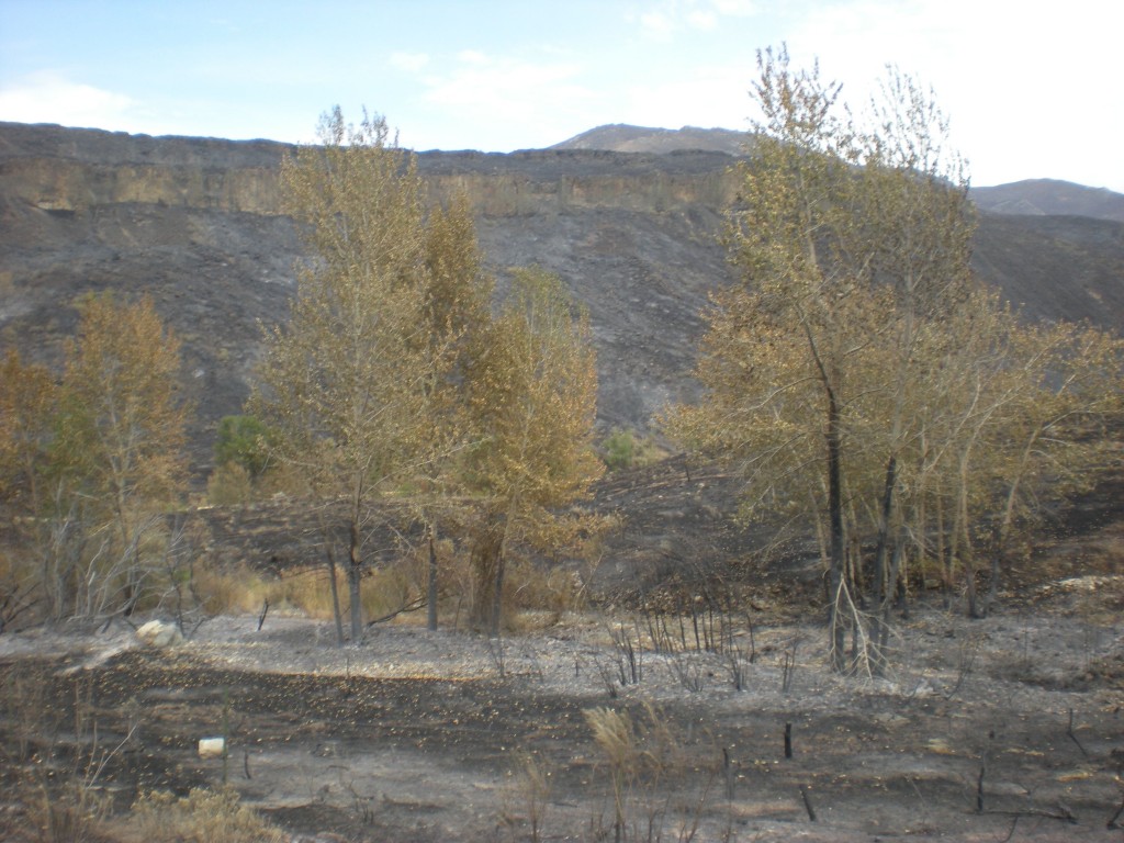
The drive descending Cow Creek showed many sections not affected by fire while the hillsides had burned. The photo above shows near the end of cow creek where it enters the valley bottom the fire burned through the trees and took the brush and grasses.
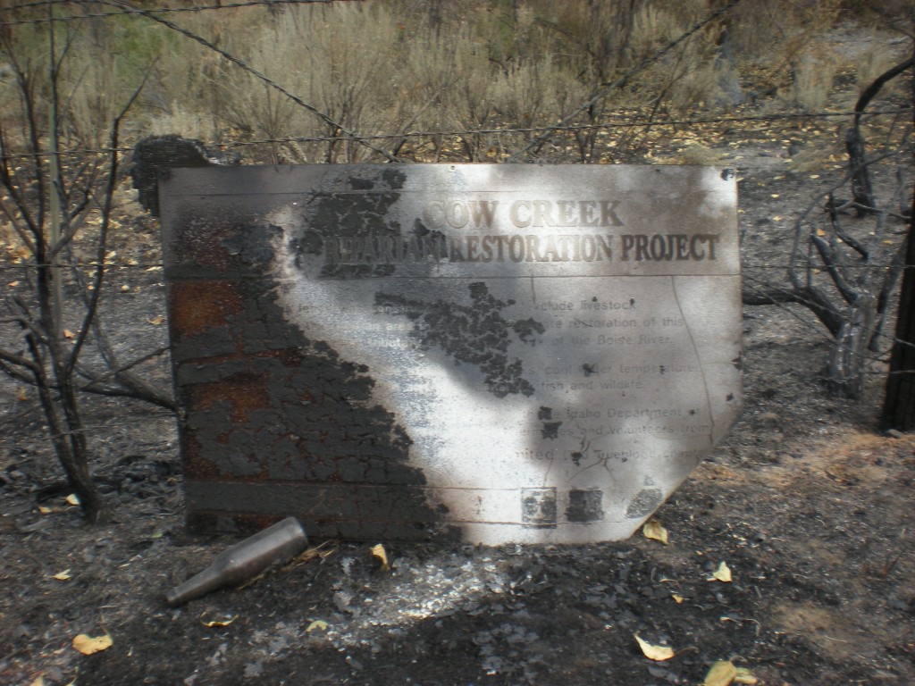
Long hidden in the brush was the commemorative sign of the Cow Creek riparian restoration project from 1992. What is left of the wording and logos is ash burned on to the medal sign. The logos for Trout Unlimited, Forest Service and Boise Valley Fly Fishers are still visible. The beer bottle was not placed there for the photo. Indeed, cans and bottles are now revealed in many locations where the brush burned, exposing litter from long ago.
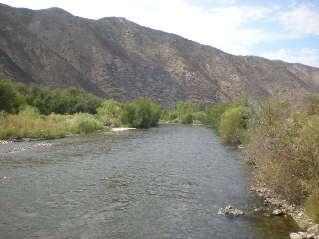
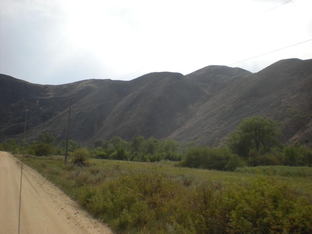
From the vantage point of the Cow Creek bridge the conditions downstream look largely unaffected along the river.
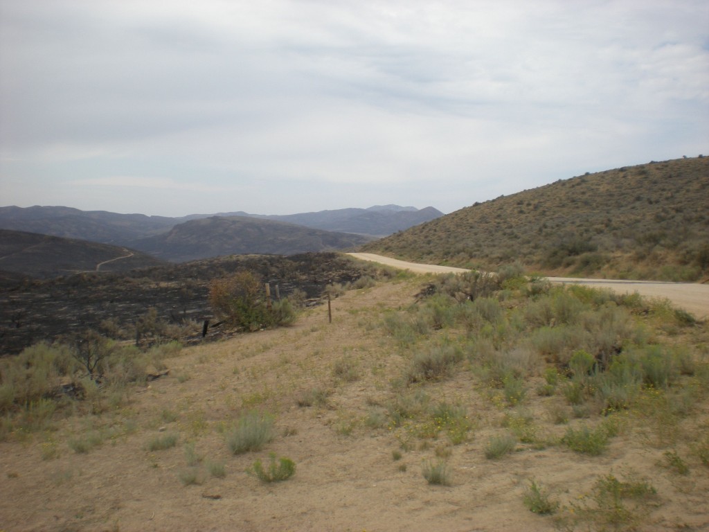
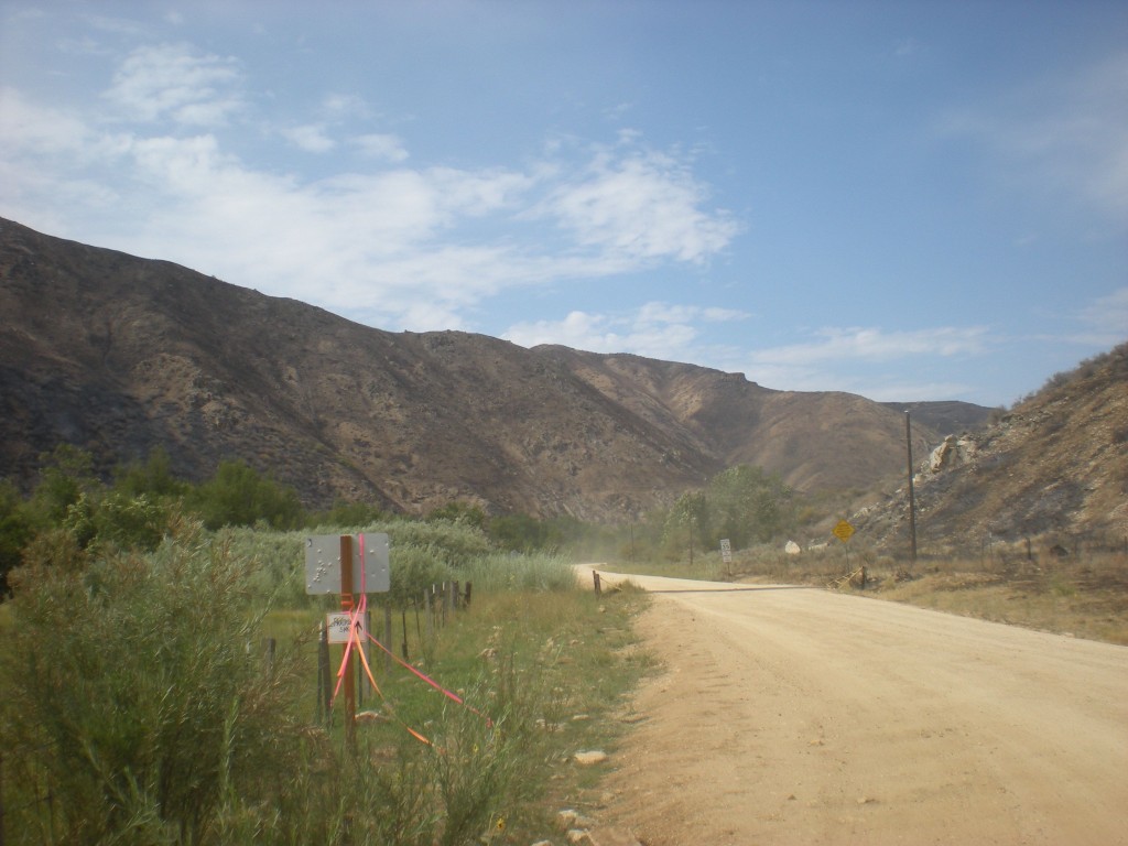
In this area the Prairie Road appears to have served as a fire break. The right edge of the photo shows the edge of the burn down the hill side.
The unburned section (at least as observed from the road) reaches more than a mile. Despite the area being open since only 5:00 p.m. on Tuesday, by Wednesday afternoon there was already an RV and drift boat settled in at campsite 121Q, also known as the meadow, where the multiple channels join together. UPDATE 8/23/13: Actually only the road is open but an area closure on the Forest Service lands is still in effect.
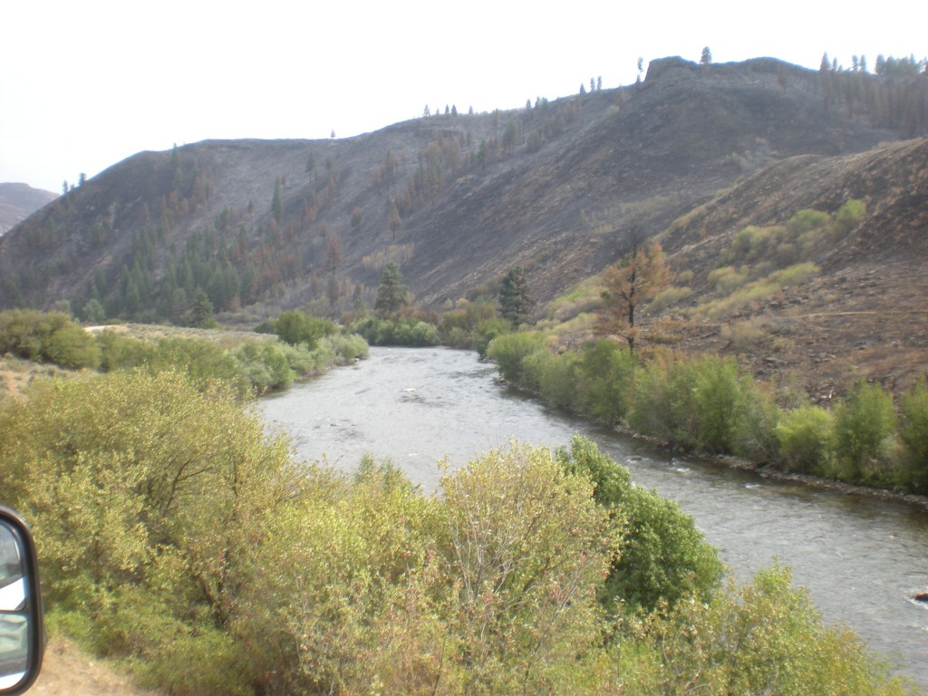
Things get more interesting as one moves downstream past the 121R campsite, also known to some as the “Dead Deer Hole.” The photo above looks back upstream through a section of stream bank where the brush burned through to waters edge.
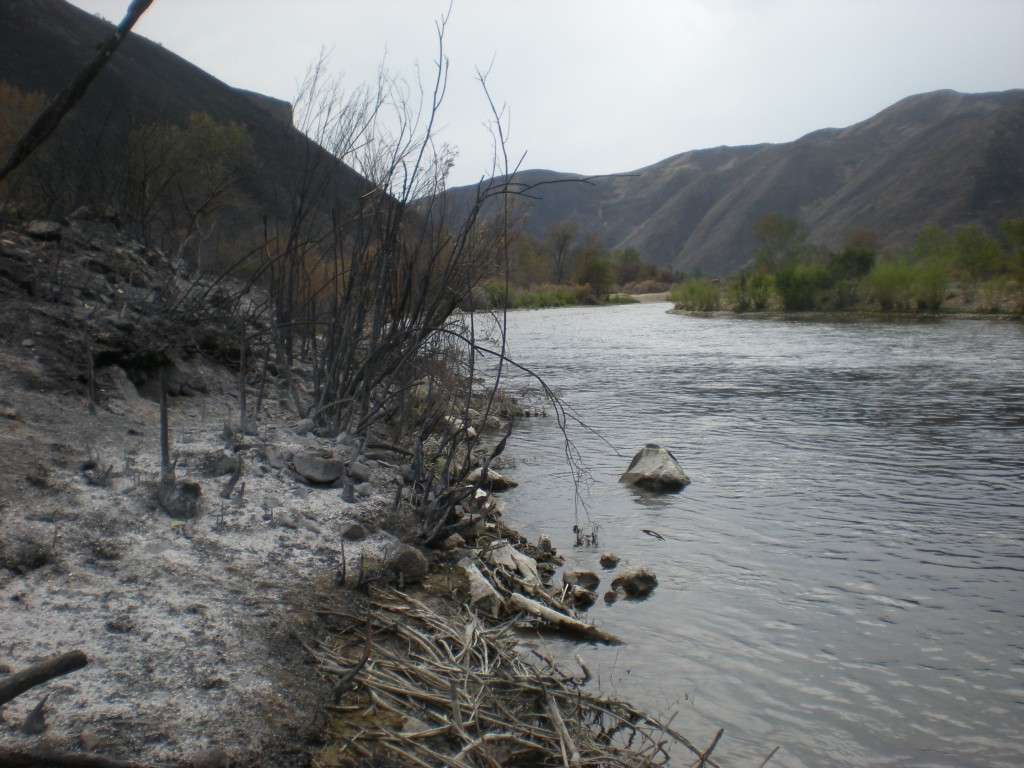
Here is a nice close up of the burned area along the river, looking upstream. In the background the unbuned riparian areas are evident. Some patches burned and others did not.
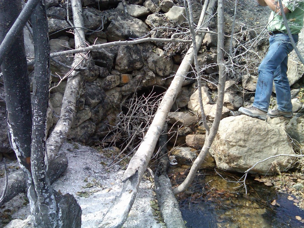
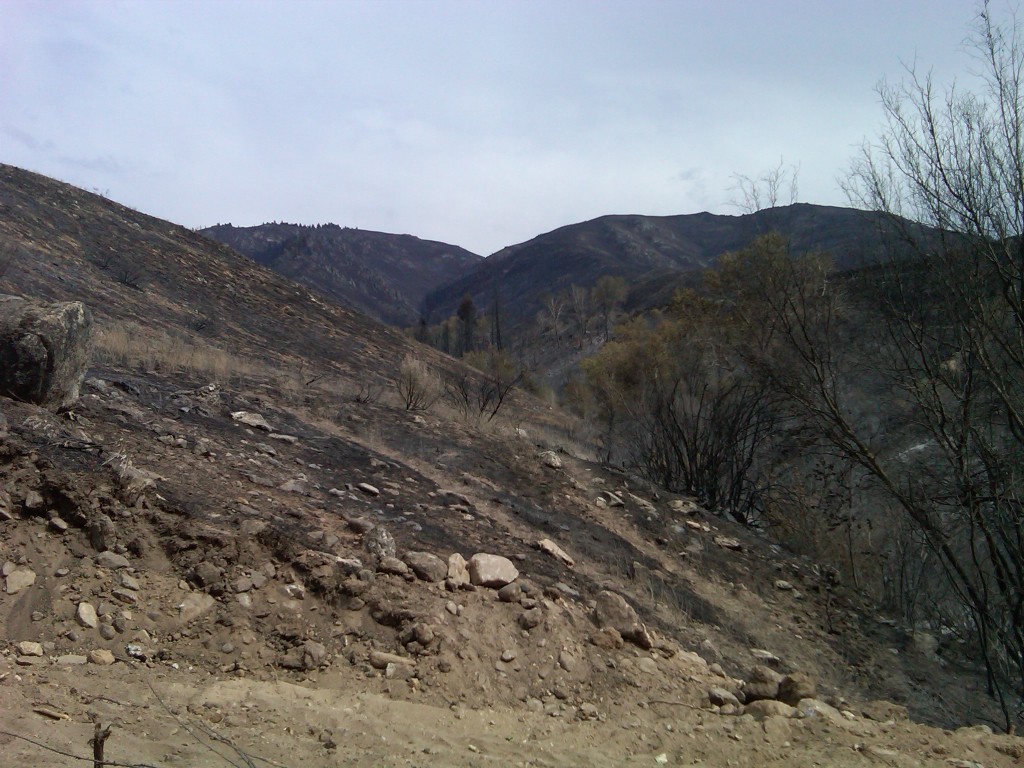
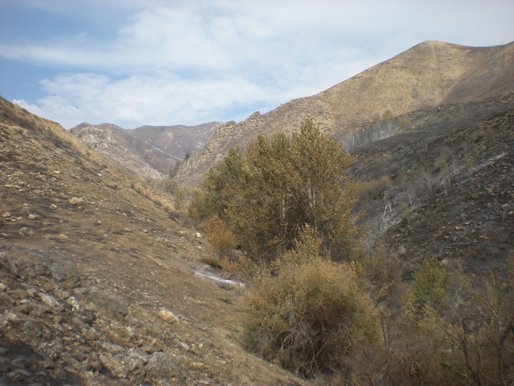
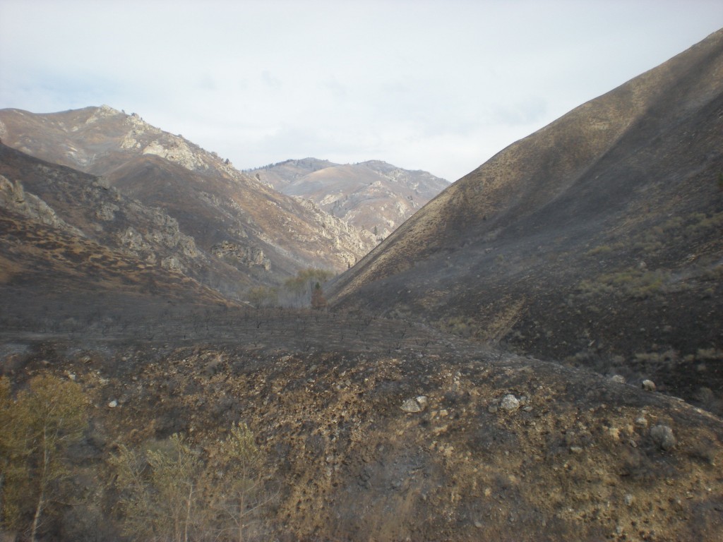
Just downstream of 121R the little stream of Granite Creek meets the South Fork. But not before it goes through a 36″ diameter culvert under the South Fork road. The photo above shows the relatively small culvert, a concern given that the watershed as seen in the photo below, appears to have burned over.
Granite Creek could be a ticking time bomb for the South Fork. A heavy rain on this watershed could cause a gully washer and if the culvert gets plugged the flood could take out the road. The amount of sediment that will go to the South Fork is going to go up from this watershed. The question is how much and what can be done to control erosion. Fortunately the Forest Service is attuned to these immediate after effects from a fire and will be scouting the burned area for vulnerable locations.
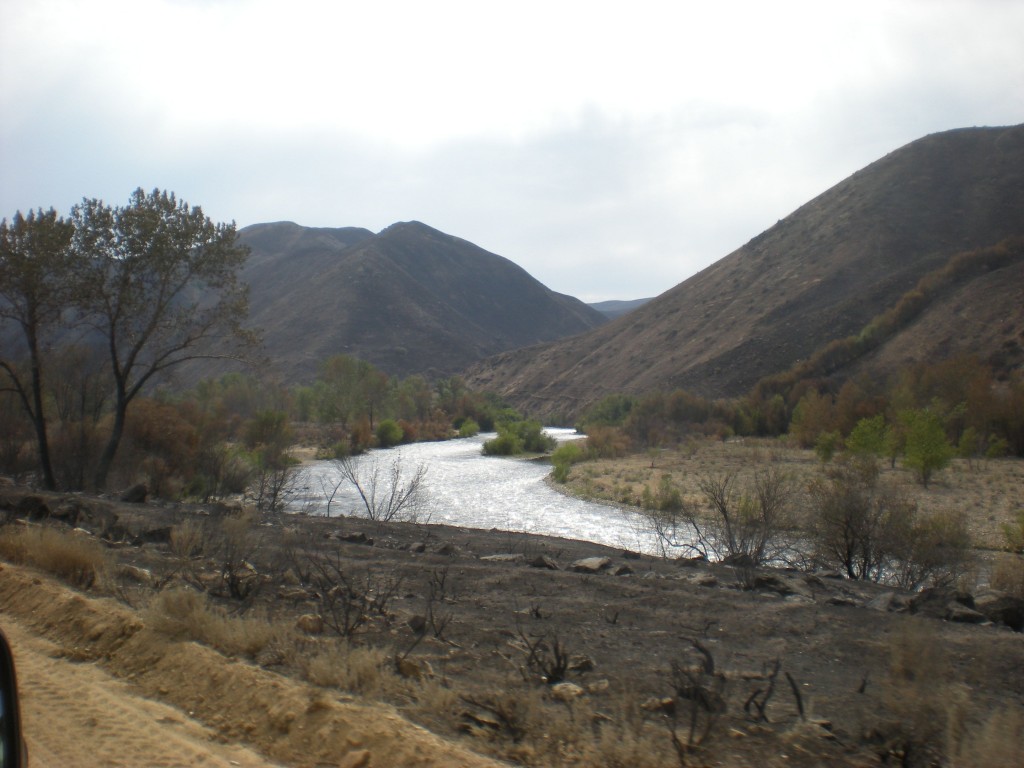
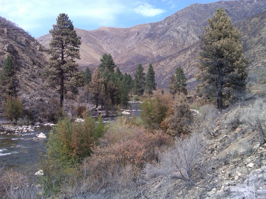
Immediately downstream of the confluence of Granite Creek and the South Fork is the section known as the Rock Garden followed by the Pine Tree Hole. The photo above represents the fire effects in a microcosm showing much of the brush burned completely, some with less severe burn, and some riparian brush that is still green. The trees also exhibit different fire effects where some of the pine trees in the foreground were probably killed by the fire while others in the background appear to be in a position to survive. In the distance the iconic ponderosa pines at the Pine Tree Hole pullout appear to have made it.
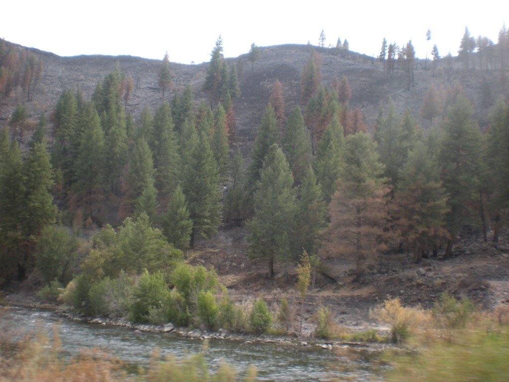
Areas downstream of the Pine Tree Hole show more of the fire damage is upslope from the river, where many of the conifers burned, some also will survive.
Further downstream the juxtaposition of fire effects on upslope v. riparian areas is more evident. Here, one of the pines on the south side nearly all brown but the others upstream appear in better shape.
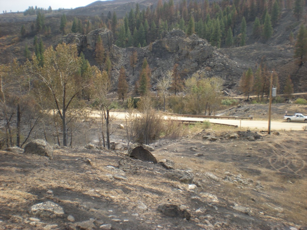
Then we got to Pierce Creek. Site of the major investment in a new bridge that made possible Pierce Creek to be reconnected to the South Fork of the Boise River, the watershed appears to have a significant amount of fire.
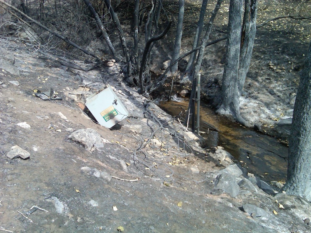
One casualty of the fire is the stream gage that USGS had installed on Pierce Creek.
Volunteers who helped plant around the area around the bridge over Pierce Creek may be pleased to learn that their efforts are not lost to fire as the vegetation in that area escaped the severe fire effects observed in the foreground where the grass and brush turned to ash and where the trees and willow burned along the creek.
Further up in the watershed the view from the Prairie Road makes evident the fire effects across the watershed. Reports from the first day of the wildfire had stated the burn went up House Mountain, the highest peak in the photo above.
Actions to lessen the erosion into Pierce Creek and to recover the watershed will be a focus of future efforts. These efforts are needed to secure the investment in the Pierce Creek bridge that has opened this watershed to the South Fork of the Boise River. This website will continue to update interested readers as government agency plans are formed to address the near term rehabilitation actions.


Pingback: The Granite Creek Bomb |