Check out our Story Map here.


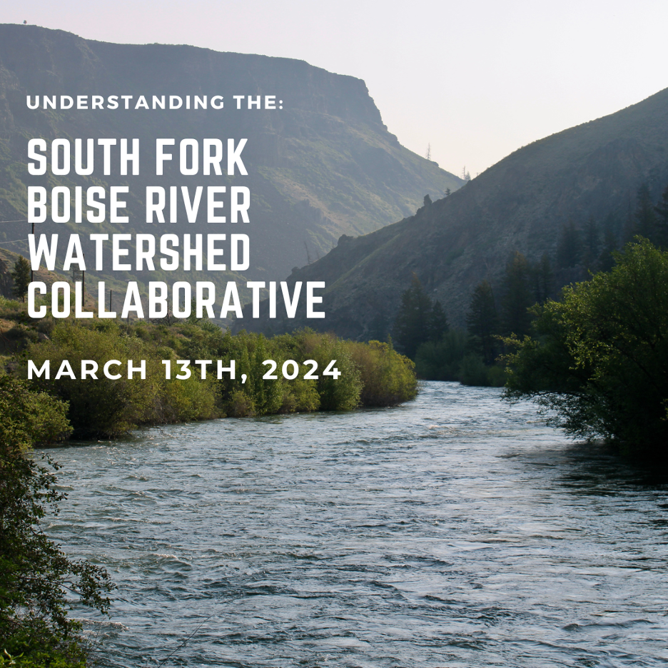
Join the Ted Trueblood Chapter of Trout Unlimited for a presentation about the South Fork Boise River Watershed Collaborative
Time: 6:30-7:00 Social / 7:00 Program
Date: March 13
Location: Smoky Mountain Pizza in Park Central
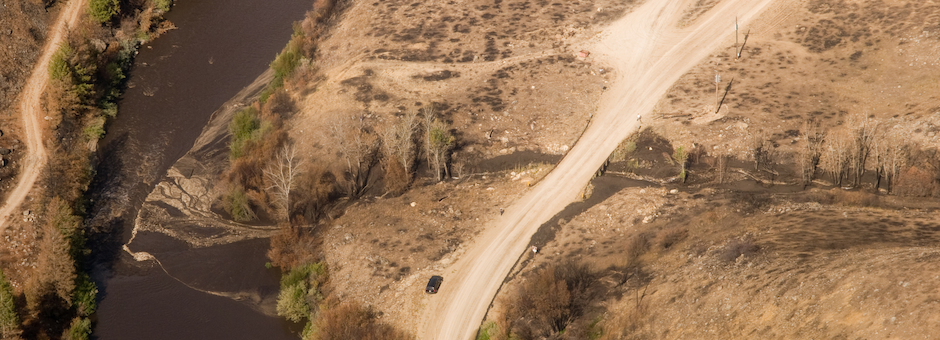
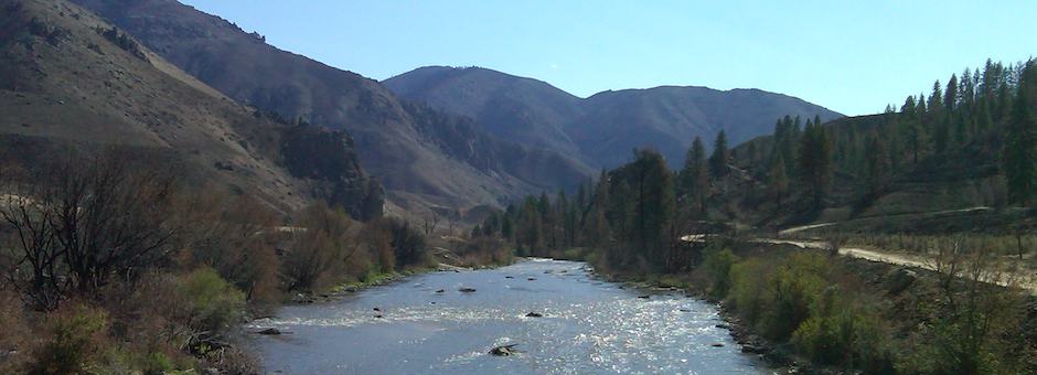
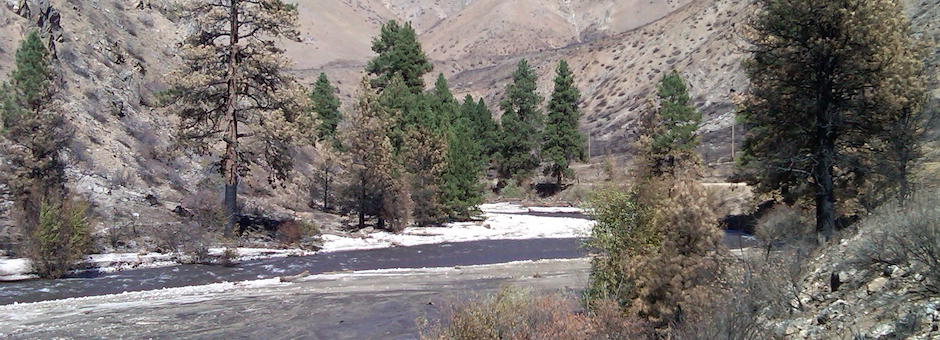
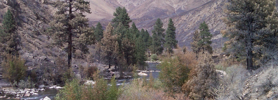
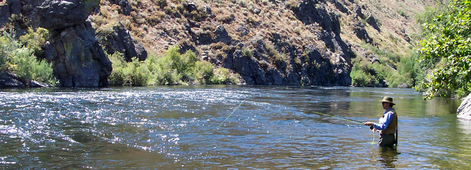
Andy Prisciandaro, the Trout Unlimited South Fork Boise River Watershed Collaborative Manager and Daniel Ritz, Communications and Outreach Coordinator for the Idaho Wildlife Federation will walk us through this exciting new group. The collaborative was formed to identify, prioritize and implement of improvements to the South Fork Boise Watershed between Anderson Ranch Dam and Arrowrock Reservoir. This interdisciplinary, multi-agency group officially began in October of 2023 to conserve and enhance the watershed with benefits to our shared community, fishery and anglers. The Collaborative has begun brainstorming ideas and investigating the feasibility of projects ranging from simple changes to signage up to large side channel reconnection projects. Come learn about their scope of work, potential projects, as well as how you can provide input and stay engaged with their work!
Combined with Daniel’s storytelling ability and personal experience fishing the river we are sure this will be an exciting ad informative presentation!
About the presenters:
Anthony Prisciandaro a former fish biologist and current Trout Unlimited South Fork Boise River Watershed Manager past experience with the South Fork Boise has includes everything from tracking fish by helicopter to collect data to create flow and water quality models.
Daniel Ritz is Communications and Outreach Coordinator for the Idaho Wildlife Federation, Editor of Swing the Fly Magazine and ANGLERS Fly Shop. Photo: Daniel Ritz/IWF
A more detailed agenda will come out as we get closer but the general topics are listed below.
Sub-Committee meetings have been scheduled to cover the 6 categories developed by the group. Details can be found in the Watershed Collaborative Tab.
South Fork Boise Watershed Collaborative
Kickoff Meeting Draft Agenda
Thursday October 19 from 9:00am to 12:30pm
Idaho Department of Fish Game – Headquarters (600 S Walnut St, Boise, ID 83712)
Click here to join the meeting virtually if you are unable to attend in person
Overview
Existing data, conditions and resources
11:35-High level introduction to potential opportunities for improvement (Anthony)
12:00-Watershed Collaborative form and function
12:30- Adjourn


